Search Constraints
Search Results


5. Boston I

6. Boston II


10. Plan of Boston


15. Plan of Boston


20. Plan of Boston

21. Plan of Boston


29. Boston

30. Boston

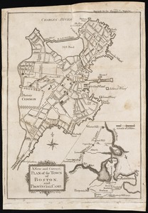
31. Plan of Boston


54. Boston


58. Hafen von Boston


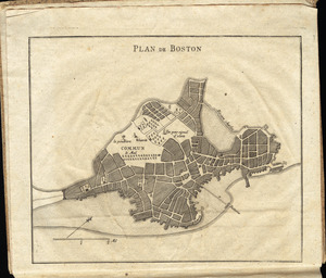
83. Plan de Boston

![[Rough draught of Boston and harbour]](https://bpldcassets.blob.core.windows.net/derivatives/images/commonwealth:z603vj39m/image_thumbnail_300.jpg)


![[Map of Boston]](https://bpldcassets.blob.core.windows.net/derivatives/images/commonwealth:z603vw17n/image_thumbnail_300.jpg)


![A Plan oe [i.e. of] the British lines on Boston Neck in August 1775](https://bpldcassets.blob.core.windows.net/derivatives/images/commonwealth:z603vj41n/image_thumbnail_300.jpg)
