Search Constraints
Search Results


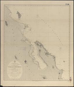
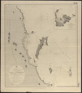
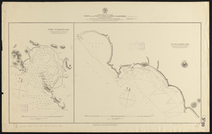
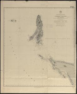
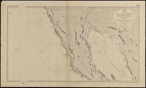
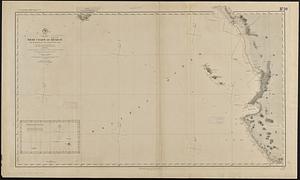
21. Carte du Mexique


38. Denmark


41. England


45. France

46. Germany


51. Ireland

52. Italy

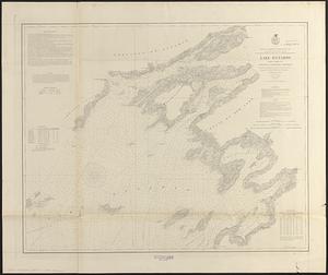
55. Lake Ontario
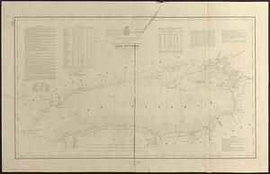
56. Lake Ontario


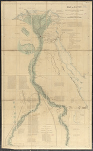
62. Map of Egypt


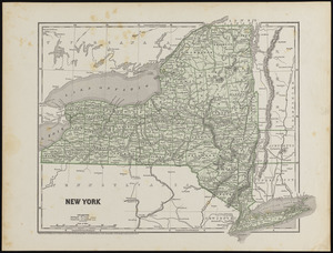
79. New York