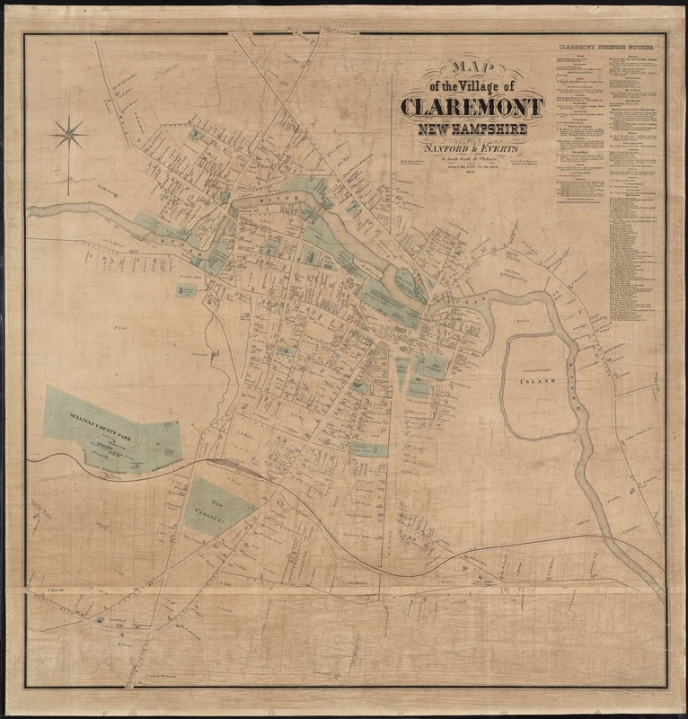
Map of the village of Claremont, New Hampshire
Item Information
- Title:
- Map of the village of Claremont, New Hampshire
- Creator:
- Sanford, Everts & Co
- Name on Item:
-
by Sanford & Everts ; engd. by Worley & Bracher.
- Date:
-
1873
- Format:
-
Maps/Atlases
- Location:
-
Boston Public Library
Norman B. Leventhal Map & Education Center - Collection (local):
-
Norman B. Leventhal Map & Education Center Collection
- Subjects:
-
Landowners--New Hampshire--Claremont--Maps
Real property--New Hampshire--Claremont--Maps
Claremont (N.H.)--Maps
- Places:
-
New HampshireSullivan (county)Claremont
- Extent:
- 1 map : col. ; 97 x 95 cm.
- Terms of Use:
-
No known copyright restrictions.
No known restrictions on use.
- Publisher:
-
Philadelphia :
Sanford and Everts
- Scale:
-
Scale [1:2,400]. 200 ft. to the in.
- Language:
-
English
- Notes:
-
Shows property owners, streets, and railroads.
Lists "Claremont Business Notices."
Cataloging, conservation, and digitization made possible in part by The National Endowment for the Humanities: Exploring the human endeavor.
- Identifier:
-
06_01_007640
- Call #:
-
G3744.C5 1873 .S26
- Barcode:
-
39999065646208


