Search Constraints
Search Results

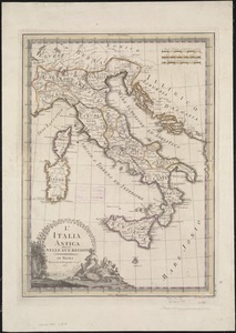
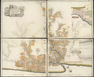
8001. The World
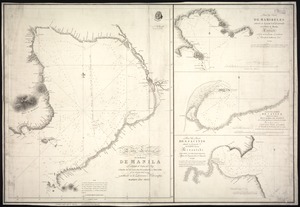
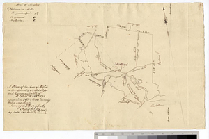
![[Chart of Maldonado and the Island of Gorriti]](https://bpldcassets.blob.core.windows.net/derivatives/images/commonwealth:w9505s53p/image_thumbnail_300.jpg)

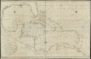
8005. Indie Occidentali


8013. Plan of Boston


8020. Boston and its environs

8021. Boston with its environs

8022. Boston with its environs


8024. Connecticut

8025. Delaware


8027. Kentuckey

8028. Louisiana

8031. Maryland

8032. Massachusetts


8034. New Jersey
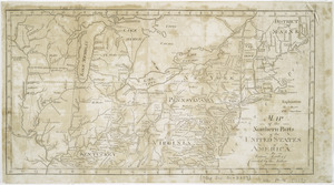
![A new map of part of the United States of North America, containing those of New York, Vermont, New Hampshire, Massachusets [sic], Connecticut, Rhode Island, Pennsylvania, New Jersey, Delaware, Maryland and Virginia](https://bpldcassets.blob.core.windows.net/derivatives/images/commonwealth:6t053p06v/image_thumbnail_300.jpg)


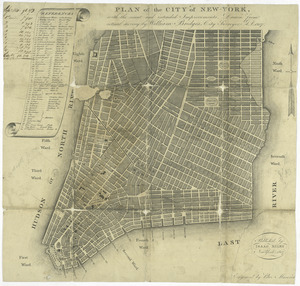
8037. New York
8038. New York

8039. North Carolina

8040. Ohio and N.W. Territory

8041. Pennsylvania


8045. Province of Maine

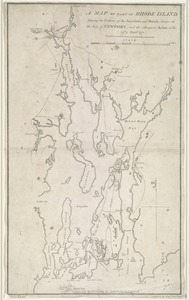
8046. Rhode Island


8048. South Carolina


8053. Virginia


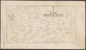
8061. Boston Bay


8064. Louisiana


8075. États Unis