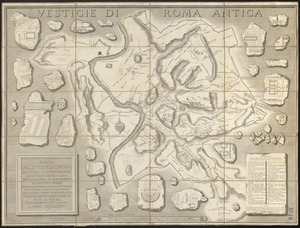
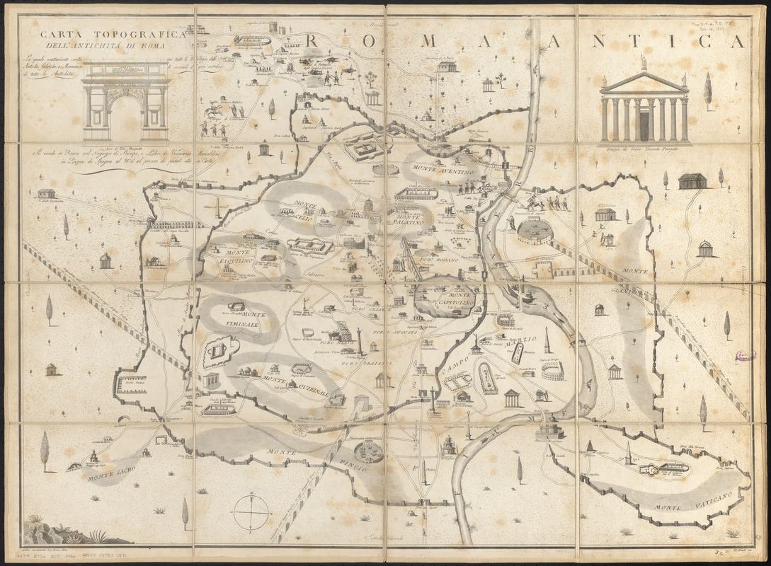
Carta topografica dell'antichità di Roma : la quale esattamente contiene tutte le vestigie delle antiche fabriche, e monumenti secondo il giro metodico di tutte le antichità
Item Information
- Title:
- Carta topografica dell'antichità di Roma : la quale esattamente contiene tutte le vestigie delle antiche fabriche, e monumenti secondo il giro metodico di tutte le antichità
- Cartographer:
- Manazzale, Andrea
- Publisher:
- Monaldini, Venanzio
- Engraver:
- Pronti, D.
- Name on Item:
-
Andrea Manazzale inv. ; D. Pronti inc.
- Date:
-
1805
- Format:
-
Maps/Atlases
- Location:
-
Boston Public Library
Norman B. Leventhal Map & Education Center - Collection (local):
-
Norman B. Leventhal Map & Education Center Collection
- Subjects:
-
Buildings--Italy--Rome--Pictorial works
Rome (Italy)--Historical geography--Maps
Rome (Italy)--Antiquities--Maps
- Places:
-
ItalyLatian (region)Roma (province)Rome
- Extent:
- 1 map ; 59 x 82 cm
- Terms of Use:
-
No known copyright restrictions.
No known restrictions on use.
- Publisher:
-
Roma :
nel Negozio di Stampe, e Libri di Venanzia, Monaldini in Piazza di Spagna al no.6 al prezzo di pavoli otto in carta
- Scale:
-
Scale approximately 1:8,000
- Language:
-
Italian
- Notes:
-
Oriented with north to the bottom.
Some buildings and structures shown pictorially.
Includes illustrations of Arco di Tito prospetto and Tempio di Giove Tonante prospetto.
- Identifier:
-
06_01_015082
- Call #:
-
G6714.R7S2 1805 .M36
- Barcode:
-
39999085930871