Manuscript plan of the Bulfinch Triangle, Boston, MA : [text]

Item Information
- Title:
- Manuscript plan of the Bulfinch Triangle, Boston, MA : [text]
- Description:
-
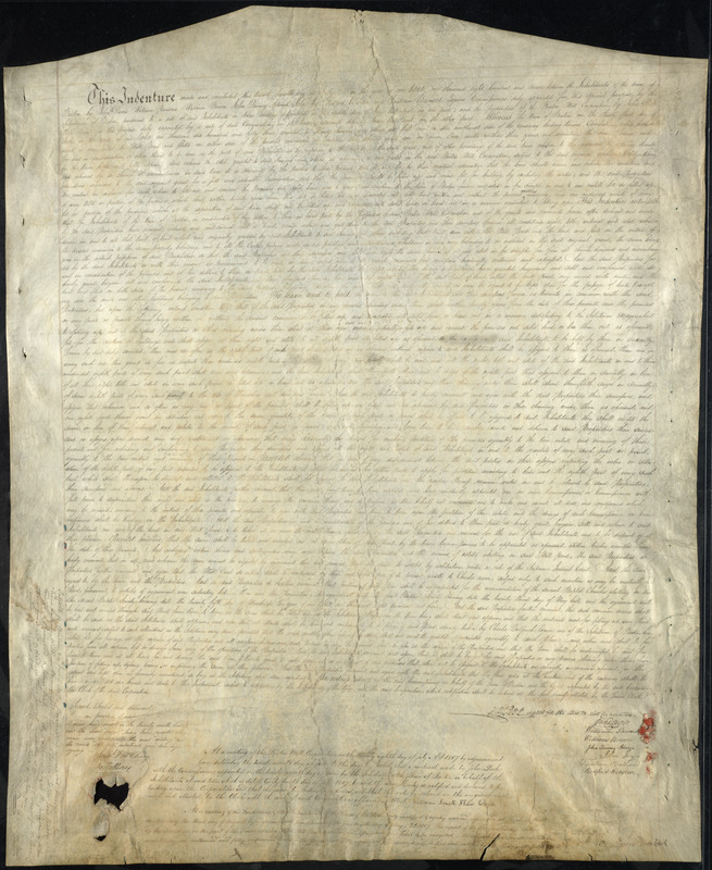
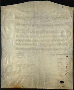
Land indenture and manuscript map authorizing and illustrating one of Boston's first major land reclamation projects in the so-called Mill Pond. Map illustrates the creation of the "Bulfinch Triangle,"constructed within the perimeter of the old Mill Pond area from Merrimac and North Washington Streets, up to Causeway Street.
- Cartographer:
- Bulfinch, Charles, 1763-1844
- Name on Item:
-
Charles Bullfinch
- Date:
-
1807
- Format:
-
Maps/Atlases
Manuscripts
- Location:
-
Boston Public Library
Norman B. Leventhal Map & Education Center - Collection (local):
-
Norman B. Leventhal Map & Education Center Collection
- Subjects:
-
Boston (Mass.)--Maps
- Places:
-
MassachusettsSuffolk (county)Boston
- Extent:
- 1 sheet : both sides ; 94 x 76 cm
- Terms of Use:
-
No known copyright restrictions.
No known restrictions on use.
- Language:
-
English
- Identifier:
-
06_01_002323
06_01_002324
- Call #:
-
G3764.B6G45 1807 .B8
- Barcode:
-
39999058993963


