A map of the United States of North America : drawn from a number of critical researches
This map is also available in American Revolutionary Geographies Online (ARGO), a collections portal especially built for material relating to the American Revolutionary War Era. Visit ARGO to learn more about this item and explore the historical geography of North America in the late eighteenth century.
Item Information
- Title:
- A map of the United States of North America : drawn from a number of critical researches
- Description:
-
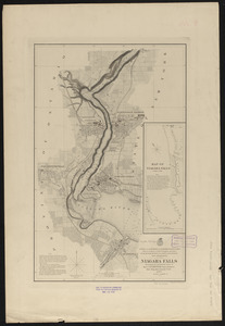
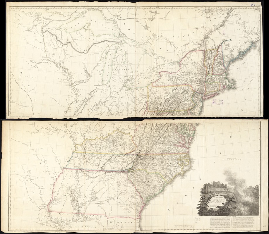
America Transformed: This large wall map details the United States at the onset of the 19th century. The young nation’s western boundary is the Mississippi River, based on the 1783 Paris Peace Treaty. In addition to the original 13 states, three new ones appear: Vermont, Kentucky, and Tennessee. As Euro-American settlers moved across the Appalachian Mountains, they encountered Native and French communities, including the Tsalagi (Cherokee), Chikasha (Chickasaw), Chahta (Choctaw), and Mvskoke (Creek) who inhabited expansive ancestral lands in the southern portion of this trans-Appalachian region. An image of Niagara Falls, which became part of the nation’s popular iconography, adorns the cartouche.
- Creator:
- Arrowsmith, Aaron, 1750-1823
- Name on Item:
-
by A. Arrowsmith.
- Date:
-
1802
- Format:
-
Maps/Atlases
- Location:
-
Boston Public Library
Norman B. Leventhal Map & Education Center - Collection (local):
-
Norman B. Leventhal Map & Education Center Collection
- Subjects:
-
United States--Maps
Niagara Falls (N.Y. and Ont.)--Maps
- Places:
-
Niagara Falls (waterfall)
- Extent:
- 1 map on 2 sheets : hand col. ; 123 x 141 cm, sheets 31 x 140 cm.
- Terms of Use:
-
No known copyright restrictions.
No known restrictions on use.
- Publisher:
-
London :
A. Arrowsmith
- Edition:
- 1802 ed.
- Scale:
-
Scale [ca. 1:1,750,000]
- Language:
-
English
- Notes:
-
Relief shown pictorially.
Includes illustrated cartouche of Niagara Falls and textual notes on it.
Outline color.
- Notes (exhibitions):
-
Exhibited: "America transformed. Part 1: the United States expands westward," organized by the Norman B. Leventhal Map & Education Center at the Boston Public Library, 2019.
- Identifier:
-
06_01_006210
- Call #:
-
G3700 1802 .A7
- Barcode:
-
39999065671685