Search Constraints
Search Results


13367. Massachusetts coastal towns
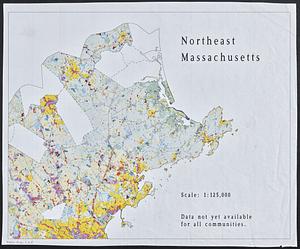
13369. Northeast Massachusetts


13372. Outline map of Boston
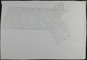
13373. Outline map of Massachusetts
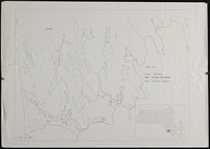


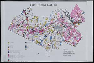
13379. Route 2 zonal land use

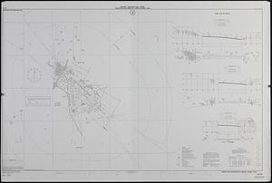
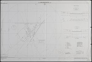
13381. Shadow analysis

13383. Street trees Comm. Ave.


13385. View of the South End
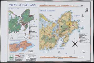
13386. Views of Cape Ann