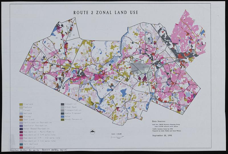
Route 2 zonal land use
Item Information
- Title:
- Route 2 zonal land use
- Cartographer:
- Pehlke, Linda
- Cartographer:
- Wilson, Carol
- Name on Item:
-
prepared by Linda Pehlke and Carol Wilson
- Date:
-
1990
- Format:
-
Maps/Atlases
- Location:
-
Boston Public Library
Norman B. Leventhal Map & Education Center - Collection (local):
-
Applied Geographics, Inc. Records
- Subjects:
-
Massachusetts Route 2 (Mass.)--Maps
Land use--Massachusetts--Massachusetts Route 2--Maps
- Places:
-
Massachusetts
- Extent:
- 1 map : color ; 27 x 38 cm
- Terms of Use:
-
No known copyright restrictions.
No known restrictions on use.
- Publisher:
-
[Massachusetts] :
[publisher not identified]
- Scale:
-
Scale approximately 1:80,000
- Language:
-
English
- Notes:
-
Shows an unspecified area of Massachusetts.
- Identifier:
-
06_01_019053
- Call #:
-
AppGeo Folder 30 no. 16
- Barcode:
-
30000008063575


