Massachusetts coastal towns

Item Information
- Title:
- Massachusetts coastal towns
- Description:
-
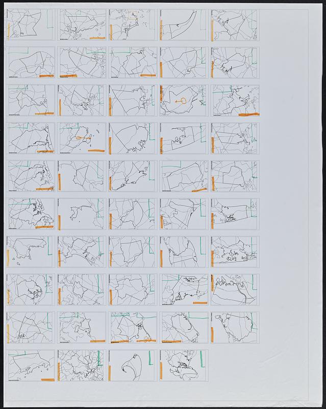
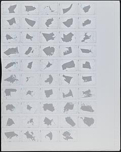
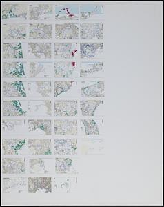
Drafts for maps of coastal towns in Massachusetts showing ponds & streams, highways, roads and town boundaries. One sheet outlines town boundaries and highways of 49 towns, with annotations in highlighter marking the location for title and legend. One sheet outlines water features and town boundaries for 49 towns, with blank legends. One sheet shows water features, roads and town boundaries for 37 towns.
- Cartographer:
- Applied Geographics, Inc.
- Date:
-
[ca. 1990–1999]
- Format:
-
Maps/Atlases
- Location:
-
Boston Public Library
Norman B. Leventhal Map & Education Center - Collection (local):
-
Applied Geographics, Inc. Records
- Subjects:
-
Massachusetts--Maps
Cities and towns--Massachusetts--Maps
- Places:
-
Massachusetts
- Extent:
- 3 sheets : color ; sheets 116 x 92 cm
- Terms of Use:
-
No known copyright restrictions.
No known restrictions on use.
- Publisher:
-
[Boston, Massachusetts] :
[Applied Geographics, Inc.]
- Language:
-
English
- Identifier:
-
06_01_018905A
06_01_018905B
06_01_018905C
- Call #:
-
AppGeo Folder 1 no. 7-9
- Barcode:
-
30000008056332


