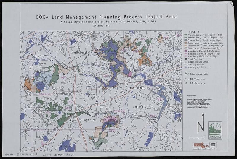
EOEA land management planning process project area : a cooperative planning project between MDC, DFWELE, DEM, & DFA
Item Information
- Title:
- EOEA land management planning process project area : a cooperative planning project between MDC, DFWELE, DEM, & DFA
- Cartographer:
- MassGIS (Office : Mass.)
- Contributor:
- Massachusetts. Executive Office of Environmental Affairs
- Name on Item:
-
Executive Office of Environmental Affairs ; MassGIS
- Date:
-
1990
- Format:
-
Maps/Atlases
- Location:
-
Boston Public Library
Norman B. Leventhal Map & Education Center - Collection (local):
-
Applied Geographics, Inc. Records
- Subjects:
-
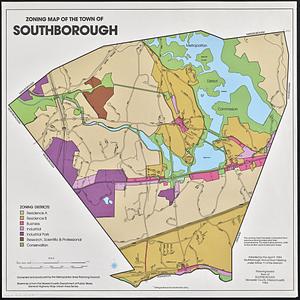
Southborough (Mass. : Town)--Maps
Protected areas--Massachusetts--Southborough (Town)--Maps
Public lands--Massachusetts--Southborough (Town)--Maps
- Places:
-
MassachusettsWorcester (county)Southborough
- Extent:
- 1 map : color ; 27 x 38 cm
- Terms of Use:
-
No known copyright restrictions.
No known restrictions on use.
- Publisher:
-
Massachusetts :
MassGIS
- Scale:
-
Scale approximately 1:63,000
- Language:
-
English
- Notes:
-
Covers Southborough and surrounding towns.
- Identifier:
-
06_01_019050
- Call #:
-
AppGeo Folder 30 no. 13
- Barcode:
-
30000008063564