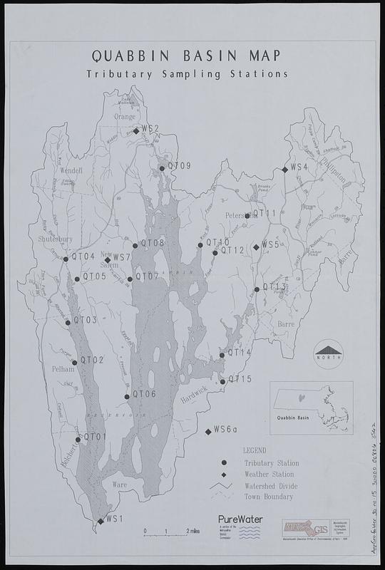
Quabbin basin map tributary sampling stations
Item Information
- Title:
- Quabbin basin map tributary sampling stations
- Cartographer:
- MassGIS (Office : Mass.)
- Contributor:
- Massachusetts. Metropolitan District Commission
- Name on Item:
-
PureWater ; MassGIS
- Date:
-
1990
- Format:
-
Maps/Atlases
- Location:
-
Boston Public Library
Norman B. Leventhal Map & Education Center - Collection (local):
-
Applied Geographics, Inc. Records
- Subjects:
-
Quabbin Reservoir Watershed (Mass.)--Maps
Meteorological stations--Massachusetts--Quabbin Reservoir Watershed--Maps
Water--Sampling--Massachusetts--Quabbin Reservoir Watershed--Maps
- Places:
-
MassachusettsQuabbin Reservoir
- Extent:
- 1 map ; 39 x 27 cm
- Terms of Use:
-
No known copyright restrictions.
No known restrictions on use.
- Publisher:
-
Massachusetts :
MassGIS
- Scale:
-
Scale approximately 1:100,000
- Language:
-
English
- Notes:
-
Includes location map.
- Identifier:
-
06_01_019052
- Call #:
-
AppGeo Folder 30 no. 15
- Barcode:
-
30000008063562


