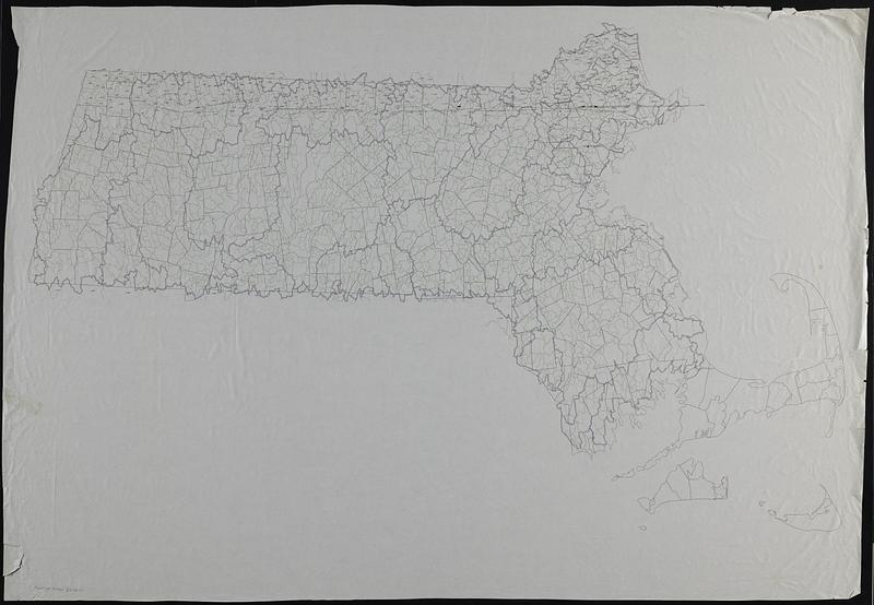
Outline map of Massachusetts
Item Information
- Title:
- Outline map of Massachusetts
- Contributor:
- MassGIS (Office : Mass.)
- Date:
-
[ca. 1990–1999]
- Format:
-
Maps/Atlases
- Genre:
-
Outline maps
- Location:
-
Boston Public Library
Norman B. Leventhal Map & Education Center - Collection (local):
-
Applied Geographics, Inc. Records
- Subjects:
-
Massachusetts--Administrative and political divisions--Maps
- Places:
-
Massachusetts
- Extent:
- 1 map : color ; on sheet 87 x 125 cm
- Terms of Use:
-
No known copyright restrictions.
No known restrictions on use.
- Publisher:
-
[Boston?] :
[MassGIS?]
- Notes:
-
Pen plot outline map of Massachusetts showing town boundaries, rivers and smaller divisions that may be census tracts
- Identifier:
-
06_01_019071
- Call #:
-
AppGeo Folder 31 no. 11