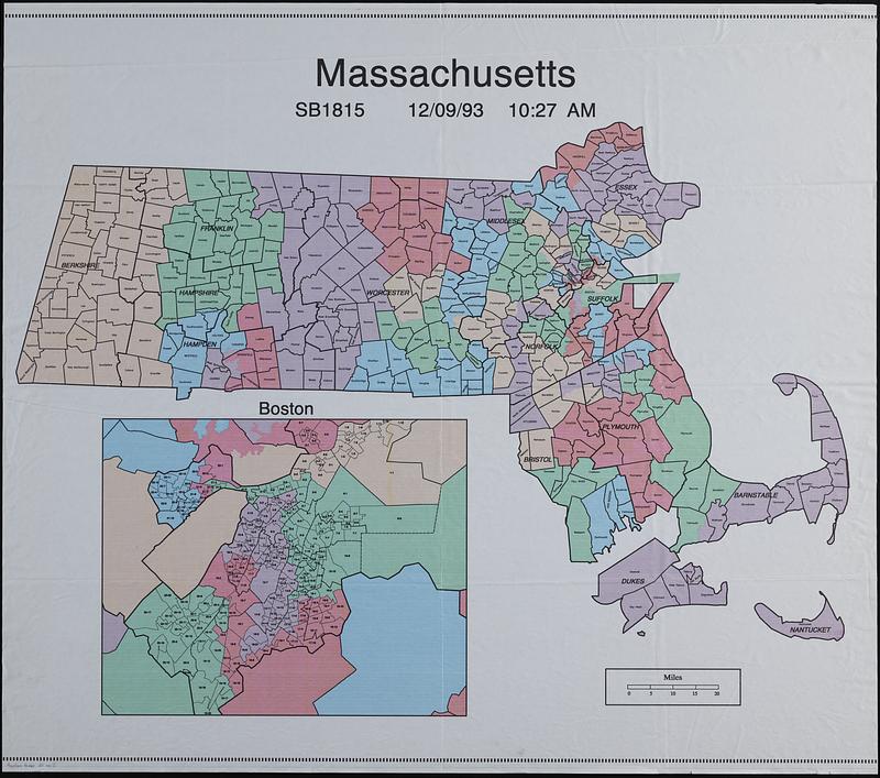
Massachusetts SB1815
Item Information
- Title:
- Massachusetts SB1815
- Contributor:
- MassGIS (Office : Mass.)
- Date:
-
1993
- Format:
-
Maps/Atlases
- Location:
-
Boston Public Library
Norman B. Leventhal Map & Education Center - Collection (local):
-
Applied Geographics, Inc. Records
- Subjects:
-
Massachusetts--Administrative and political divisions--Maps
Boston (Mass.)--Administrative and political divisions--Maps
- Places:
-
Massachusetts
- Extent:
- 1 map : color ; on sheet 92 x 104 cm
- Terms of Use:
-
No known copyright restrictions.
No known restrictions on use.
- Publisher:
-
[Boston] :
MassGIS
- Scale:
-
Scale approximately 1:300,000
- Language:
-
English
- Notes:
-
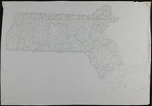
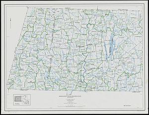
Shows counties and towns.
Inset: Boston [showing wards and precincts].
- Identifier:
-
06_01_019065
- Call #:
-
AppGeo Folder 31 no. 5