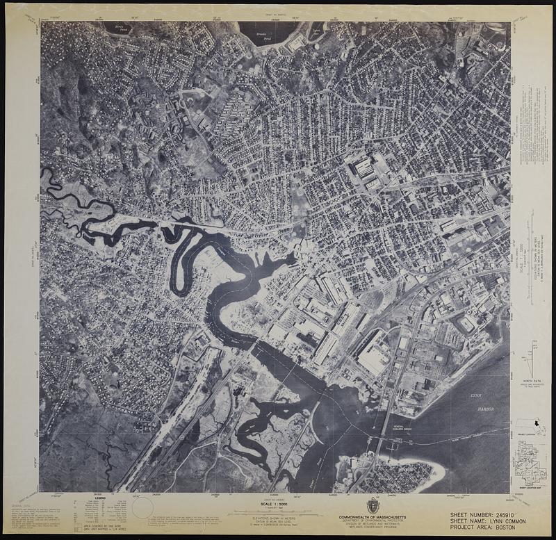
Orthophoto map of Boston, Lynn Common
Item Information
- Title:
- Orthophoto map of Boston, Lynn Common
- Publisher:
- Wetlands Conservancy Program (Mass.)
- Name on Item:
-
Commonwealth of Massachusetts, Department of Environmental Protection, Division of Wetlands and Waterways, Wetlands Conservancy Program
- Date:
-
[ca. 1990]
- Format:
-
Maps/Atlases
- Location:
-
Boston Public Library
Norman B. Leventhal Map & Education Center - Collection (local):
-
David Judkins Weaver Papers
- Subjects:
-
Saugus River (Mass.)--Aerial photographs
Lynn (Mass.)--Aerial photographs
Saugus (Mass.)--Aerial photographs
- Places:
-
MassachusettsSaugus (river)
MassachusettsEssex (county)Lynn
MassachusettsEssex (county)Saugus
- Extent:
- 1 map ; 80 x 80 cm
- Terms of Use:
-
No known copyright restrictions.
No known restrictions on use.
- Publisher:
-
[Boston] :
Wetlands Conservancy Program
- Scale:
-
Scale 1:5,000
- Language:
-
English
- Notes:
-
"Sheet number: 245910, sheet name: Lynn Common, project area: Boston."
"Orthophoto map produced by Martinez Corporation St. Paul, MN from aerial photographs taken in the spring and fall of 1990."
"Aerial photographs for wetland delineation taken by James W. Sewall Company in spring 1990."
- Identifier:
-
06_01_018867
- Call #:
-
Weaver folder 32 no. 9


