Search Constraints
Search Results


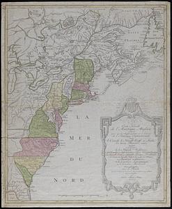
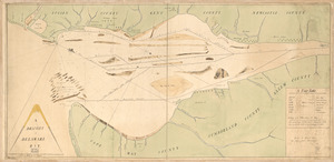
![[A map of part of Pennsylvania & Maryland intended to shew, at one view, the several places proposed for opening a communication between the waters of the Delaware & Chesopeak Bays]](https://bpldcassets.blob.core.windows.net/derivatives/images/commonwealth:z603vt12v/image_thumbnail_300.jpg)


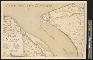
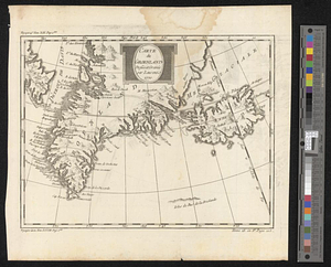
10727. Plan of Niagara
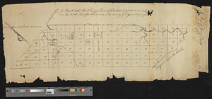
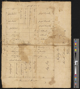
![A plan of the Indian boundary line [torn]](https://bpldcassets.blob.core.windows.net/derivatives/metadata/commonwealth-oai:gh93mw53c/image_thumbnail_300.jpg)
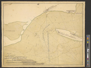

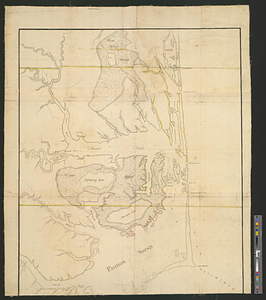
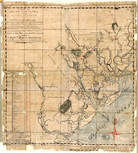
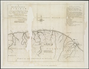
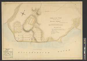
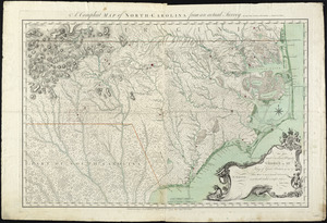
10736. Albemarle and Pamlico Sounds
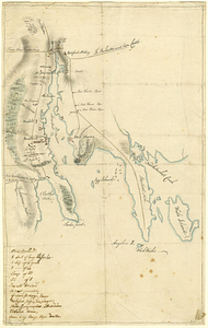
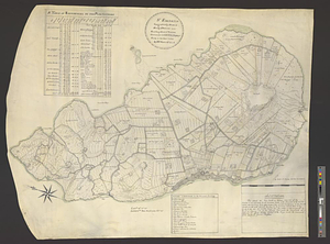
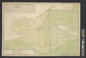
10737. Bedford
10738. Bedford &c.

10739. Boston Harbor, Massachusetts
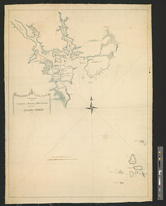
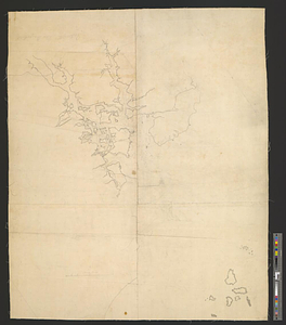
![[Boston Harbour, with the surroundings, &c]](https://bpldcassets.blob.core.windows.net/derivatives/images/commonwealth:t722hs94d/image_thumbnail_300.jpg)


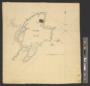
10743. Cape Ann


10751. Chart of Plymouth Bay

10752. Chart of Plymouth Bay

10753. Chart of Plymouth Bay
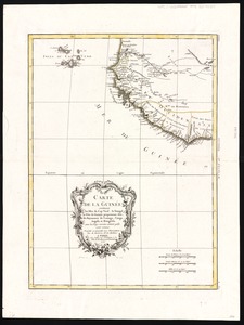
![[Chart of the gulf and river of St. Lawrence]](https://bpldcassets.blob.core.windows.net/derivatives/images/commonwealth:7h149v39v/image_thumbnail_300.jpg)

10755. A chart of the gulf stream
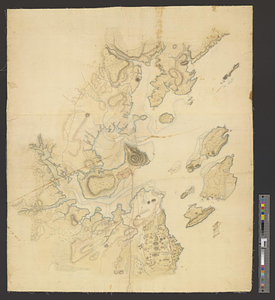
![[Chignecto Bay and vicinity]](https://bpldcassets.blob.core.windows.net/derivatives/images/commonwealth:9g54xk66m/image_thumbnail_300.jpg)
10756. [Chignecto Bay and vicinity]
![[Coast of South Carolina, Georgia and Florida from Charleston to St. Augustine]](https://bpldcassets.blob.core.windows.net/derivatives/images/commonwealth:hx11z448f/image_thumbnail_300.jpg)
![[Coast of South Carolina, Georgia and Florida from Charleston to St. Augustine]](https://bpldcassets.blob.core.windows.net/derivatives/images/commonwealth:hx11z450g/image_thumbnail_300.jpg)


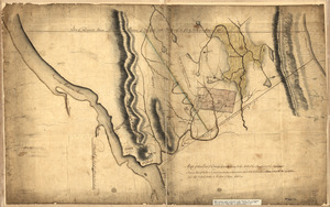
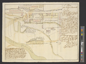
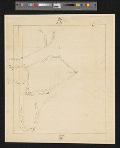
![Discription [sic] of the roads about White Plains](https://bpldcassets.blob.core.windows.net/derivatives/metadata/commonwealth-oai:w3767301r/image_thumbnail_300.jpg)


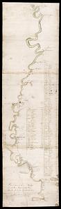
10766. Distances North River

10768. A draught of Delaware Bay

10771. Egmont Harbor


10773. Falmouth Harbour

10774. Falmouth Harbour
10775. Falmouth, Maine

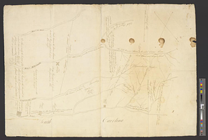
10776. Flatbush


10779. Fort Lee


10781. From Freehold toward Trenton
10782. Gardiners Bay

10784. Goat Island

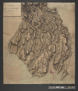
10785. Halifax

10786. Haverstraw Bay and vicinity


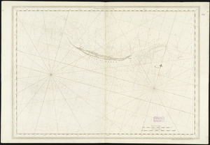
10790. Isle of Sable


10792. Kings Bridge


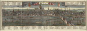
10795. London

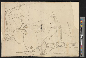
10796. Long Island