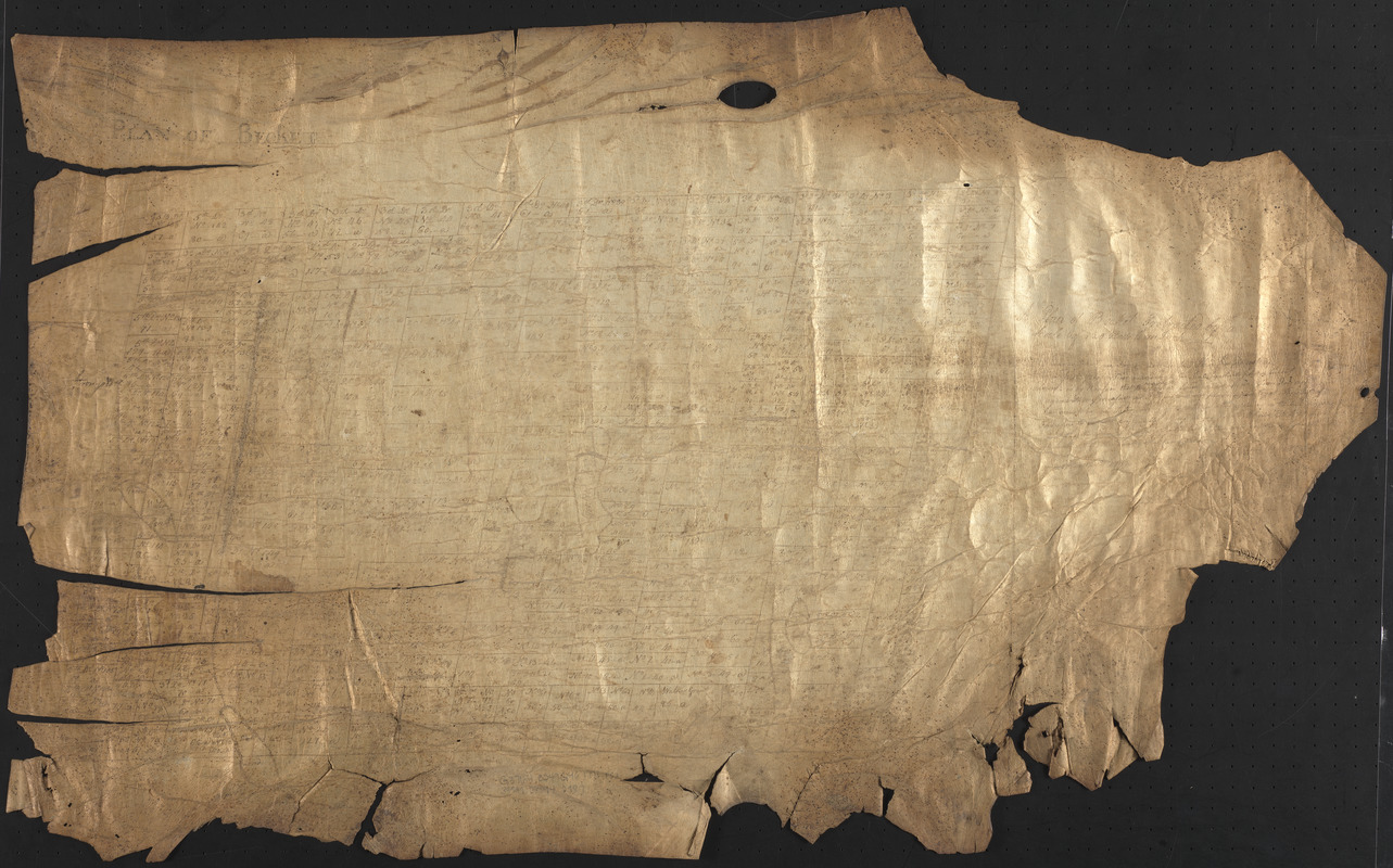
A plan of Becket protracted by a scale of 120 rods to an inch
This map is also available in American Revolutionary Geographies Online (ARGO), a collections portal especially built for material relating to the American Revolutionary War Era. Visit ARGO to learn more about this item and explore the historical geography of North America in the late eighteenth century.
Item Information
- Title:
- A plan of Becket protracted by a scale of 120 rods to an inch
- Title (alt.):
-
Plan of Becket
- Date:
-
1771
- Format:
-
Maps/Atlases
Manuscripts
- Location:
-
Boston Public Library
Norman B. Leventhal Map & Education Center - Collection (local):
-
Norman B. Leventhal Map & Education Center Collection
- Subjects:
-
Becket (Mass. : Town)--Maps--Early works to 1800
Manuscript maps--Early works to 1800
- Places:
-
MassachusettsBerkshire (county)Becket
- Extent:
- 1 manuscript map ; 53 x 86 cm
- Terms of Use:
-
No known copyright restrictions.
No known restrictions on use.
- Scale:
-
Scale 1:23,760
- Language:
-
English
- Notes:
-
Manuscript map in ink on parchment, likely sheepskin.
Shows town divided into approximately 300 lots, numbered, and some with surname annotations.
Includes text.
Parts of map are faded and illegible.
- Identifier:
-
06_01_016188
- Call #:
-
G3764.B249G46 1771 .P53
- Barcode:
-
39999085942587


