Search Constraints
Search Results
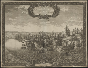

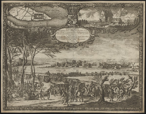
![Delineatio schenographica urbis Thoruniensis in Prussia, exhibens ejusdem obsidionem primam paulo remotius factam a rege poloniae ejus[que]](https://bpldcassets.blob.core.windows.net/derivatives/images/commonwealth:ht2501874/image_thumbnail_300.jpg)


14. 1630 shoreline


20. 227 Harzgerode

21. 305 Glatz


23. 4 Kinten

![[A chart of Boston Bay and vicinity]](https://bpldcassets.blob.core.windows.net/derivatives/images/commonwealth:cj82m2976/image_thumbnail_300.jpg)


65. Adriatic


67. Aegyptus Antiqua


78. Africa


80. Africa

81. Africa

82. Africa

83. Africa

84. Africa

85. Africa


99. Afrika
