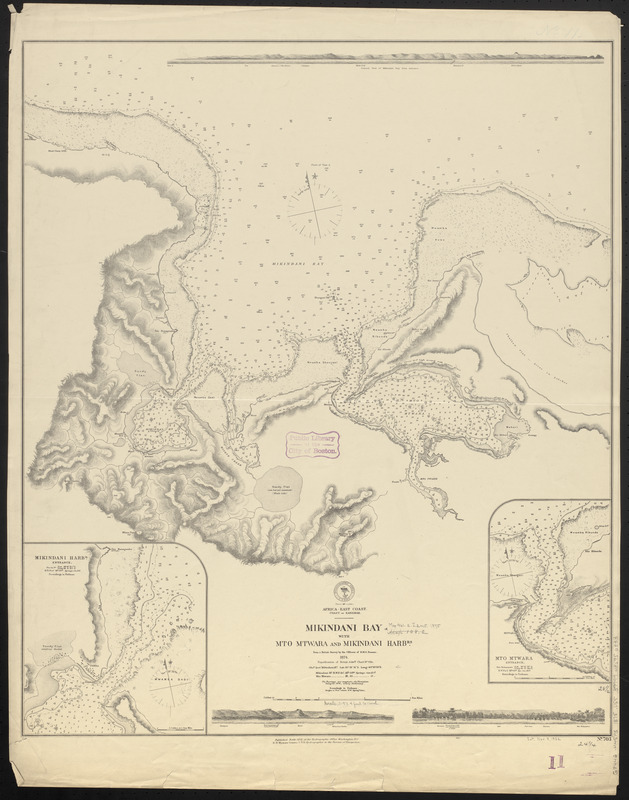
Africa--east coast, coast of Zanzibar, Mikindani Bay with Mto Mtwara and Mikindani Harbrs : from a British survey by the officers of H.M.S. Nassau, 1874 : republication of British Admty. chart no. 684
Item Information
- Title:
- Africa--east coast, coast of Zanzibar, Mikindani Bay with Mto Mtwara and Mikindani Harbrs : from a British survey by the officers of H.M.S. Nassau, 1874 : republication of British Admty. chart no. 684
- Title (alt.):
-
Mikindani Bay with Mto Mtwara and Mikindani Harbrs
- Issuing body:
- United States. Hydrographic Office
- Date:
-
1875
- Format:
-
Maps/Atlases
- Location:
-
Boston Public Library
Norman B. Leventhal Map & Education Center - Collection (local):
-
Norman B. Leventhal Map & Education Center Collection
- Subjects:
-
Nautical charts--Tanzania--Mikindani Bay
Mikindani Bay (Tanzania)--Maps
- Places:
-
TanzaniaMtwara Region (region)Mikindani
- Extent:
- 1 map ; 73 x 62 cm
- Terms of Use:
-
No known copyright restrictions.
No known restrictions on use.
- Publisher:
-
Washington, D.C. :
Hydrographic Office
- Scale:
-
Scale approximately 1:38,600
- Language:
-
English
- Notes:
-
Relief shown by hachures and spot heights. Depths shown by soundings and isolines.
Insets: Mikindani Harbr. entrance -- Mto Mtwara entrance.
Includes 3 coastal views.
- Identifier:
-
06_01_016642
- Call #:
-
G9096.P5 svar .U55
- Barcode:
-
39999085950333


