Search Constraints
Search Results


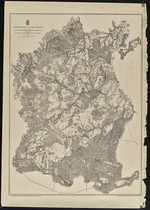
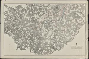
54. Antietam
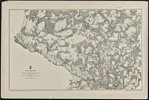
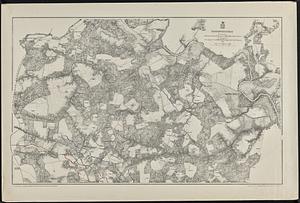
56. Cold Harbor
57. Fredericksburg
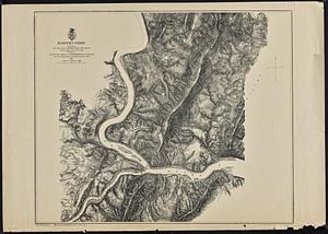
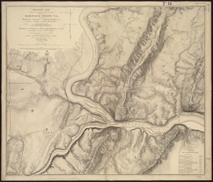
58. Harper's Ferry
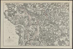
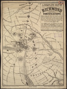
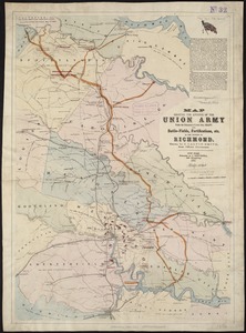
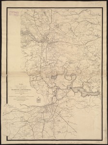
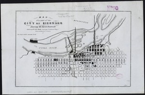
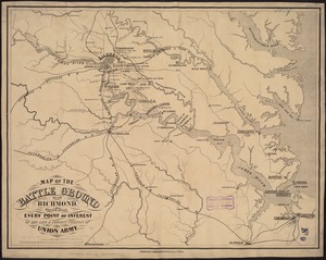
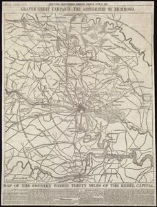
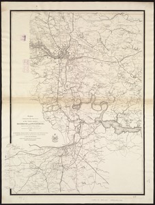
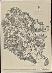
60. Richmond
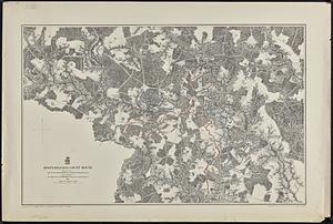
62. Totopotomoy

63. The Wilderness


65. 1630 shoreline


71. 227 Harzgerode

72. 305 Glatz


![[A chart of Boston Bay and vicinity]](https://bpldcassets.blob.core.windows.net/derivatives/images/commonwealth:cj82m2976/image_thumbnail_300.jpg)


