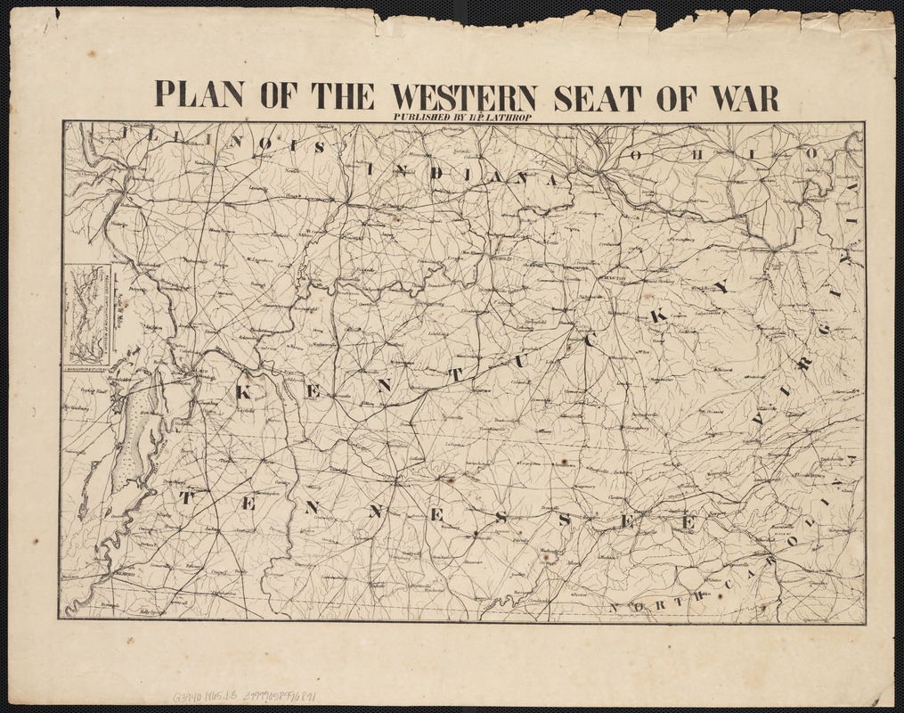
Plan of the western seat of war
Item Information
- Title:
- Plan of the western seat of war
- Creator:
- Lathrop, H. P.
- Date:
-
[1865?]
- Format:
-
Maps/Atlases
- Location:
-
Boston Public Library
Norman B. Leventhal Map & Education Center - Collection (local):
-
Norman B. Leventhal Map & Education Center Collection
- Subjects:
-
Confederate States of America--History--Maps
United States--History--Civil War, 1861-1865--Maps
- Places:
-
Confederate States of America (area)
- Extent:
- 1 map, 37 x 56 cm.
- Terms of Use:
-
No known copyright restrictions.
No known restrictions on use.
- Publisher:
-
[New Orleans] :
H.P. Lathrop
- Scale:
-
Scale ca. 1:800,000.
- Language:
-
English
- Notes:
-
Confederate imprint.
Inset: Reduced continuation of Missouri R.
General map of Kentucky, Tennessee, and parts of Illinois, Indiana, Ohio, Virginia, and North Carolina showing principal roads, railroads, towns, and rivers. Fortified sites and battlefields are not indicated.
Description derived from published bibliography.
- Identifier:
-
06_01_002668
- Call #:
-
G3940 1865 .L3
- Barcode:
-
39999058996891
- LCCN:
-
99447030


