Toggle navigation
LMEC Home
Exhibitions
Georeferencing
Tools for Teachers
Collections
My Favorites
Sign Up / Log In
Search
Search the map portal
Map Collection
Map Collection
Map Sets
Search
Search
Search for
Search In
All Fields
Creator
Title
Subject
Place
Search All Digital Collections
Advanced Search
136 Results
My Search
Start Over
1772
Remove constraint 1772
Filter your Search
Place
North and Central America
91
United States
32
Canada
24
New France
10
Haiti
9
New York
9
North America
9
Hispaniola
7
more
Place
»
Topic
Canada--Maps--Early works to 1800
10
Haiti--Maps--Early works to 1800
7
Hispaniola--Maps--Early works to 1800
7
New France--Maps
7
Cape Verde--Maps--Early works to 1800
6
Africa, West--Maps--Early works to 1800
5
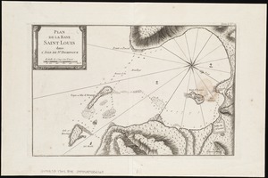
North America--Maps
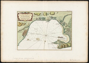
5
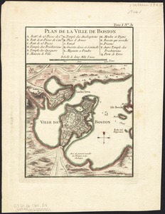
Great Lakes (North America)--Maps
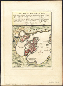
4
more
Topic
»
Date
Date range begin
–
Date range end
Current results range from
1738
to
1919
View distribution
Creator
Bellin, Jacques Nicolas, 1703-1772
88
Sayer, Robert, 1725-1794
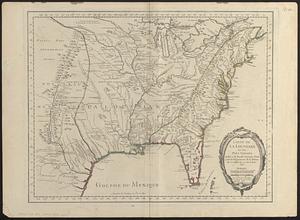
4
Andrews, Peter, active 1765-1782
3
De Brahm, John Gerar William, 1717-ca. 1799
3
Robert de Vaugondy, Didier, 1723-1786
3
Amherst, Jeffery Amherst, Baron, 1717-1797
2
Bowen, Emanuel, d. 1767
2
Carey, Mathew, 1760-1839
2
more
Creator
»
Format
Maps/Atlases
135
Manuscripts
9
Prints
1
Georeferenced
Yes
3
No
133
Collection
American Revolutionary War-Era Maps
102
Norman B. Leventhal Map Center Collection
61
William L. Clements Library Collection
38
Maritime Charts and Atlases
15
American Antiquarian Society Collection
10
Library and Archives Canada Collection
8
Mapping Boston Collection
6
Boston and New England Maps
5
more
Collection
»
Available to use
No known restrictions
56
Creative Commons license
19
Search Constraints
Sort by date (desc)
relevance
title
date (asc)
date (desc)
Number of results to display per page
100 per page
10
per page
20
per page
50
per page
100
per page
View results as:
grid view
map view
Search Results
1.
New Poland = Nowa Polska
2.
A plan of the rivers Scoodic and Magaguadavic with their principal branches including the Bay of Passamaquoddy and the adjacent...
3.
Pianta della città di Firenze
4.
School atlas to Cummings' ancient & modern geography [cover]
5.
A new and correct chart of the Atlantic Ocean
6.
New Hampshire by recent survey : made under the supreme authority and published according to law
7.
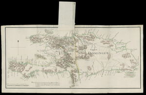
Carte de la partie Françoise de St. Domingue = A map of the French part of St. Domingo
8.
A map of the discoveries made by Capts. Cook & Clerke in the years 1778 & 1779 between the eastern coast of Asia and the...
9.
A new chart of America with the harbors of New York, Boston, &c
10.
The states of Maryland and Delaware from the latest surveys, 1799
11.
A general map of North America drawn from the best surveys 1795
12.
Lands west of the Mississippi, 1750
13.
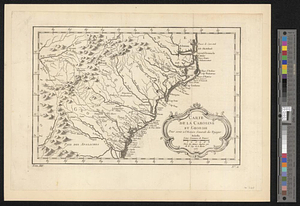
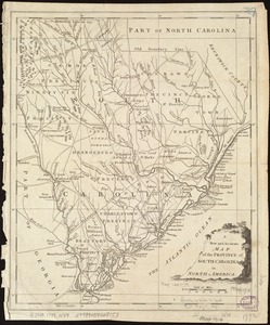
A New and accurate map of the province of South Carolina in North America
14.
Carta della Nuova Inghilterra, Nuova Iork, e Pensilvania
15.
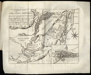
Karte von der Insel Montreal und den gegenden umher, nach den manuscripten der karten, grundrisse und tagebücher beÿ der...
16.
A Plan of that part of the boundary between the states of North and South Carolina : lying between that part of said boundary...
17.
A chart of the world upon Mercator's projection : describing the tracks of Capt. Cook in the year 1768, 69, 70, 71, and in...
18.
A map of part of West Florida done under the direction of the honourable John Stuart esqr: & by him humbly inscribed to his...
19.
An accurate map of North America : describing and distinguishing the British and Spanish dominions on this great continent :...
20.
An accurate map of North America : describing and distinguishing the British and Spanish dominions on this great continent :...
21.
America Meridionalis concinata juxta observationes Dun Acad. Regalis Scientiarum et nonnullorum aliorum
22.
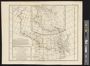
Carte de la Californie et des pays nord-ouest separés de l'Asie par le détroit d'Anian, extraite de deux cartes publiées au...
23.
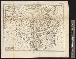
Carte des parties nord et ouest de l'Amérique dressée d'apres les relations les plus authentique par M... en 1764 : nouvelle...
24.
The Catholic Netherlands, divided into their several provinces with the roads
25.
Copy of a plan of the river Iberville from Lake Maurepas to the forks, with part of the Comit and Amit : taken from engineer...
26.
A general plan of the harbours of Port Royal and Kingston Jamaica with the channels leading thereto, and the kays and shoals...
27.
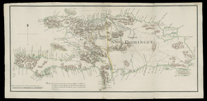
I. de St. Domingue
28.
I. de St. Domingue
29.
The kingdom of Poland and Great Dutchy of Lithuania with all their divisions
30.
The kingdoms of Spain and Portugal, divided into their great provinces
31.
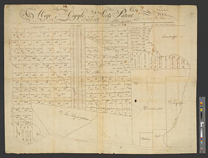
Map of Argyle or the Scot's Patent
32.
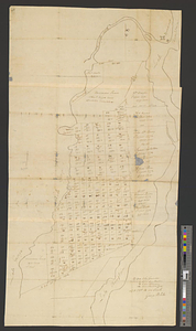
Map of Putnam
33.
Mapa de America sujecto à las observaciones astronomicas
34.
A new map of the southern parts of America taken from manuscript maps made in the country and a survey of the eastern coast...
35.
Partie de la carte du Capitaine Cluny, auteur d'un ouvrage anglois intitulé American Traveller publié à Londres en 1769
36.
Plan of a city block in Wilmington, Delaware : for Mr Fredrick Wirt 1772
37.
A plan of the division line between the provinces of New-York and Quebec : In the 45th degree of north latitude. Survey'd in...
38.
A PLAN of the SEA COAST from CAPE ELIZABETH to the ENTRANCE of SAGADAHOCK or KENNEBECK RIVER Including Casco Bay with all it's...
39.
A plan of the township of Blenheim, as surveyed and divided in the year 1772
40.
The seven United Provinces, with their roads and divisions
41.
South & North Carolina : an exact map of the boundary line between the provinces of South & North Carolina agreeable to the...
42.
St. Eustatia topographically drawn & humbly dedicated to his excellency John Vaughan commander in chief of his majestys forces...
43.
A plan of the Palace Barracks at Quebec with the environs, relative to a report of this date and an estimate of the expence of...
44.
The Ancient Tegesta, now promontory of East Florida
45.
Chart of the South End of East Florida and Martiers
46.
Hydrographical map of the Atlantic Ocean, extending from the southermost part of North America to Europe : Shewing the differt....
47.
A plan of part of the rivers Tombecbe, Alabama, Tensa, Perdido, & Scambia in the province of West Florida : with a sketch of...
48.
A plan of the Indian boundary line [torn] : from Atchtickpi to the Buckatanne; and from the line at [torn] Buckatanne to the...
49.
North America
50.
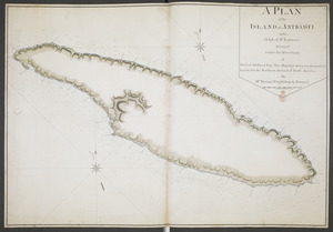
A PLAN of the ISLAND of ANTICOSTI in the Gulph of S.T Lawrence Surveyed under the Directions of Samuel Holland Esq.r His...
51.
Carte réduite des costes occidentale d'Afrique : seconde feuille, depuis le Cap Bojador jusqu' a la Riviere de Sierra Leona,...
52.
Carte reduite des costes occidentales d'Afrique : seconde feuille depuis le Cap Bojador jusqu'a la Riviere de Sierra Léona
53.
Baye et port d'Yorc, capitale de la Nouvelle Yorc
54.
Baye et port d'Yorc capitale de la Nouvelle Yorc
55.
Carte de la Baye de Baston : située dans la Nouvelle Angleterre
56.
Carte de la Nouvelle Angleterre, New York, Pensilvanie et Nouveau Jersay suivant les cartes angloises
57.
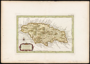
Carte de l'Isle de la Jamaique
58.
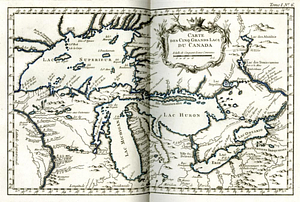
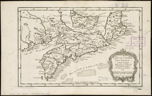
Carte des cinq grands lacs du Canada
59.
Carte des isles situées au nord de St. Domingue : avec les passages pour le retour appellés Debouqemens 1763
60.
Environs de Leogane et du Port Au Prince dans l'Isle de St. Domingue
61.
La Nouvelle France ou Canada
62.
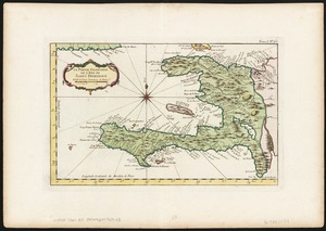
La partie Francoise de l'isle de Saint Domingue
63.
Plan de la Baye Saint Louis dans l'isle de St. Domingue
64.
Plan de la Rade et Ville du Petit Goave dans i'Isle de St. Domingue
65.
Plan de la ville de Boston
66.
Plan de la ville de Boston
67.
Plan de la ville de Boston
68.
Plan de la ville de Quebec
69.
La rivière du Détroit depuis le Lac Sainte Claire jusqu'au Lac Erié
70.
Ville de Manathe ou Nouvelle-Yorc
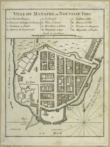
71.
Ville de Manathe ou Nouvelle-Yorc
72.
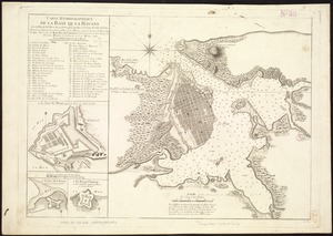
Carte hydrographique de la baye de la Havane : avec le plan de la ville et de ses forts pour joindre a la Carte de l'isle de Cube
73.
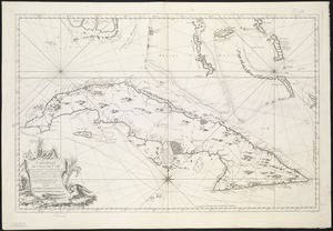
Carte réduite de l'isle de Cube
74.
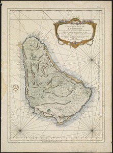
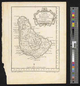
Carte de l'Isle de La Barbade : avec une description geographique de cette isle
75.
Carte de l'isle de la Barbade pour servir à l'histoire générale des voyages
76.
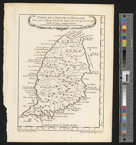
Carte de l'isle de la Grenade, pour servir à l'histoire générale des voyages
77.
Carte topographique du port et de la ville de Louisbourg, assiegé par les Anglais pendant les mois de Juin, Juillet 1758
78.
Plan de la ville de Louisbourg avec les ouvrages d'attaque des Anglais pour sa reddition, ainsi que ceux des assiegés pr. la...
79.
Plan of the town of Quebeck in Canada enlarged from Bellin's plan, with additions
80.
Carte de la Caroline at Georgie pour servir à l'histoire générale des voyages : tirée des auteurs Anglois
81.
Carte de la Caroline et Georgie. : Pour servir à l'Histoire générale des voyages
82.
Carte de la Caroline et Georgie. : Pour servir à l'Histoire générale des voyages
83.
Carte de la Floride, de la Louisiane, et pays voisins. : Pour servir à l'Histoire générale des voyages
84.
Carte de la Nouvelle Angleterre, Nouvelle Yorck, et Pensilvanie : pour servir à l'Histoire générale des voyages
85.
Carte de la Nouvelle Angleterre, Nouvelle Yorck, et Pensilvanie. : Pour servir à l'Histoire générale des voyages
86.
Carte de la Virginie, : de la Baye Chesapeack, et pays voisins. : Pour servir à l'Histoire générale des voyages. : Tirée...
87.
Carte de l'Acadie, Isle Royale, et Païs Voisins : pour servir à l'Histoire Générale des voyages
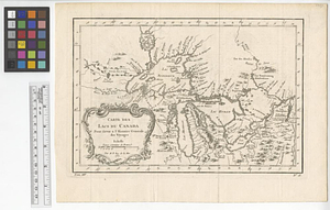
88.
Carte des lacs du Canada pour servir à l'Histoire générale des voyages
89.
Carte du Golphe de St. Laurent et pays voisins pour servir à l'histoire générale des voyages
90.
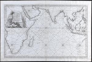
Carte reduite de l Ocean Oriental ou Mer des Indes
91.
Carte reduite des costes orientales de l'Amerique septentrionale : 1re. feuille contenant L'Isle Royale, L'Accadie, La Baye...
92.
Karte von den seen in Canada
93.
Karte von Neu England, Neu Yorck und Pensilvanien : sur Allgemeinen historie der reisen
94.
Carte de la Louisiane et des pays voisins : dédiée à M. Rouillé, sécretaire d'État, ayant le Département de la marine
95.
Carte de la Louisiane et des pays voisins dédiée à M. Rouillé sécretaire d'état, ayant le Département de la marine
96.
Carte de l'Amerique Septentrionale depuis le 28 degré de latitude jusqu'au 72
97.
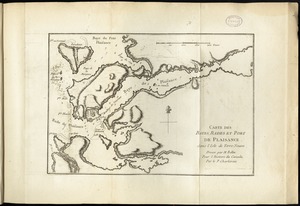
Carte des bayes, rades, et port de Plaisance dans l'isle de Terre-Neuve
98.
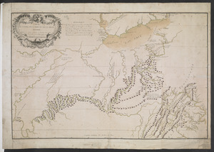
CARTE DU COURS DE L'OHIO OU DE LA BELLE RIVIERE : Depuis sa Source jusqu'a sa Jonction avec celle d'Ouabache, avec les pays les...
99.
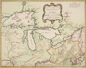
Partie occidentale de la Nouvelle France ou Canada
100.
Partie orientale de la Nouvelle France ou du Canada
‹ Prev
Next ›
1
2


![School atlas to Cummings' ancient & modern geography [cover]](https://bpldcassets.blob.core.windows.net/derivatives/images/commonwealth:3f463152q/image_thumbnail_300.jpg)


![A plan of the Indian boundary line [torn]](https://bpldcassets.blob.core.windows.net/derivatives/metadata/commonwealth-oai:gh93mw53c/image_thumbnail_300.jpg)