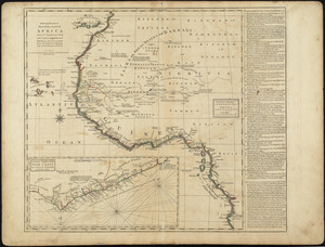
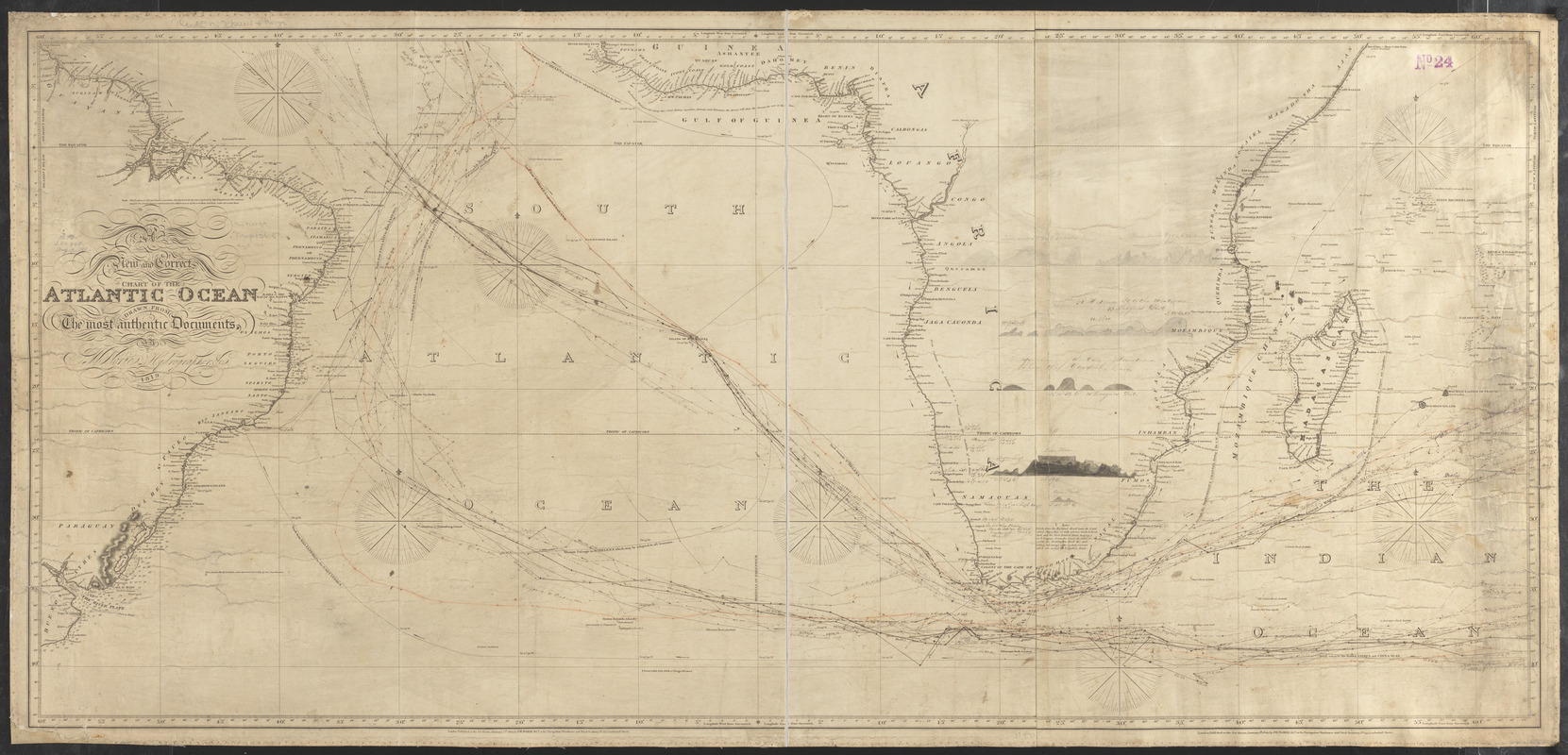
A new and correct chart of the Atlantic Ocean
Item Information
- Title:
- A new and correct chart of the Atlantic Ocean
- Cartographer:
- Norie, J. W. (John William), 1772-1843
- Publisher:
- J.W. Norie & Co.
- Name on Item:
-
drawn from the most authentic documents, by J.W. Norie, hydrographer, &c.
- Date:
-
1819
- Format:
-
Maps/Atlases
- Location:
-
Boston Public Library
Norman B. Leventhal Map & Education Center - Collection (local):
-
Norman B. Leventhal Map & Education Center Collection
- Subjects:
-
Coasts--Africa--Maps
Coasts--South America--Maps
Nautical charts--South Atlantic Ocean
Nautical charts--Indian Ocean
South Atlantic Ocean--Maps
Indian Ocean--Maps
- Places:
-
Atlantic Ocean
Indian Ocean
- Extent:
- 1 map ; 61 x 135 cm
- Terms of Use:
-
No known copyright restrictions.
No known restrictions on use.
- Publisher:
-
London :
J.W. Norie & Co., at the Navigation Warehouse and Naval Academy, no. 157 Leadenhall Street
- Scale:
-
Scale approximately 1:10,300,000
- Language:
-
English
- Notes:
-
Relief shown by hachures. Depths shown by soundings.
Shows ship tracks and currents.
Includes manuscript ship tracks, annotations and 4 coastal views.
- Identifier:
-
06_01_015492
- Call #:
-
G9166.P5 1819 .N67
- Barcode:
-
39999085936829