Toggle navigation
LMEC Home
Exhibitions
Georeferencing
Tools for Teachers
Collections
My Favorites
Sign Up / Log In
Search
Search the map portal
Map Collection
Map Collection
Map Sets
Search
Search
Search for
Search In
All Fields
Creator
Title
Subject
Place
Search All Digital Collections
Advanced Search
484 Results
My Search
Start Over
More Like
commonwealth:z603vg264
Remove constraint More Like: commonwealth:z603vg264
Filter your Search
Place
United States
350
North and Central America
194
Canada
36
North America
29
Louisiana
27
West Indies
24
Florida
23
New York
12
more
Place
»
Topic
United States--Maps
314
Elections--United States--Maps
36
Louisiana--Maps
35
Railroads--United States--Maps
34
North America--Maps
28
Canada--Maps
25
Florida--Maps
25
West Indies--Maps
25
more
Topic
»
Date
Date range begin
–
Date range end
Current results range from
1749
to
2020
View distribution
Creator
Paullin, Charles Oscar, 1868 or 1869-1944
70
Wright, John Kirtland, 1891-1969
70
Geological Survey (U.S.)
26
Reid, John, 1764?-1828
11
Carleton, Osgood, 1742-1816
9
Farwell, John Whittemore, 1843-1929
9
United States. Post Office Dept
9
Bellin, Jacques Nicolas, 1703-1772
8
more
Creator
»
Format
Maps/Atlases
482
Manuscripts
13
Prints
2
Books
1
Objects/Artifacts
1
Posters
1
Georeferenced
Yes
89
No
395
Collection
Norman B. Leventhal Map Center Collection
321
American Revolutionary War-Era Maps
162
American Antiquarian Society Collection
138
William L. Clements Library Collection
21
MacLean Collection Map Library
3
David Judkins Weaver Papers
2
Mapping Boston Collection
2
Boston and New England Maps
1
more
Collection
»
Available to use
No known restrictions
246
Creative Commons license
6
Search Constraints
Sort by relevance
relevance
title
date (asc)
date (desc)
Number of results to display per page
50 per page
10
per page
20
per page
50
per page
100
per page
View results as:
grid view
map view
Search Results
1.
Carte de la Floride, de la Louisiane, et pays voisins. : Pour servir à l'Histoire générale des voyages
2.
Carte de la Louisiane et de la Floride
3.
Amplissima regionis Mississipi : seu provinciae Ludoviciana à R.P. Ludovico Hennepin Francise Miss. in America Septentrionali...
4.
A New & accurate map of North America, : including the British acquisitions gain'd by the late war, 1763
5.
A new map of the British empire in Nth. America
6.
A map of part of West Florida done under the direction of the honourable John Stuart esqr: & by him humbly inscribed to his...
7.
A map of West Florida and part of Et: Florida, Georgia part of So: Carolina i[n]cluding [torn] & Chactaw, Chickasaw & Creek...
8.
An accurate map of the West Indies
9.
A Map of the western parts of the colony of Virginia
10.
A new & accurate map of the provinces of North & South Carolina Georgia &c
11.
A New map of North America : with the West India Islands. : Divided according to the preliminary articles of Peace, signed at...
12.
Florida from the latest authorities
13.
A Map of the new governments, of East & West Florida
14.
Map of the province of West Florida
15.
The peninsula and Gulf of Florida, or New Bahama Channel, : with the Bahama Island
16.
An Accurate map of the United States of America. : According to the Treaty of Peace of 1783
17.
America Septentrionalis : a Domino d'Anville in Galliis edita nune in Anglia Coloniss in Interiorem Virginiam deductis nec non...
18.
The British governments in Nth. America : laid down agreeable to the proclamation of Octr. 7, 1763
19.
Carte des pays connus sous le nom de Canada, : dans laquelle sont distinguées les possessions françoises, et angl?
20.
A correct map of the United States of North America. : Including the British and Spanish territories, carefully laid down...
21.
A General map of North America; : from the latest observations
22.
Karte von den seen in Canada
23.
A Map of the British dominions in North America as settled by the late treaty of Peace 1763
24.
A map of the British empire, in North America
25.
A Map of the present seat of war in North America
26.
A Map of the United States
27.
Partie de l'Amerique Septentrionale, : qui comprend le cours de l'Ohio, la Nlle. Angleterre, la Nlle. York, le New Jersey, la...
28.
Partie occidentale du Canada, : contenant les cinq Grands Lacs, avec les pays circonvoisins
29.
The United States according to the definitive treaty of peace signed at Paris, Septr. 3d, 1783
30.
The United States of America : laid down from the best authorities agreeable to the peace of 1783. : This map and chart is...
31.
Draught of the river St. Lawrence from Lake Ontario to Montreal
32.
Chart of the West Indies and Spanish Dominions in North America
33.
Colton's Florida
34.
Florida gebiet
35.
La Floride divisée en Floride et Caroline
36.
Map of East Florida from St. Augustine to Tampa Bay
37.
Map of the seat of war in Florida
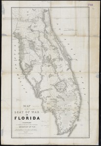
38.
Map showing the lands & waterway of the Florida Coast Line Canal & Transportation Co
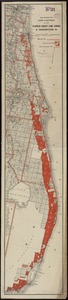
39.
North America : Florida
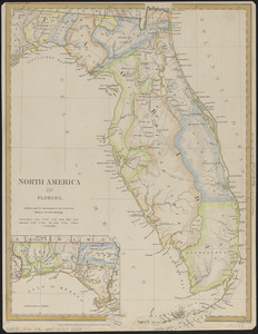
40.
Northern part of Florida
41.
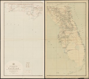
Post route map of the State of Florida showing post offices with the intermediate distances and mail routes in operation on the...
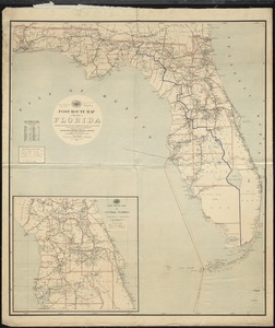
42.
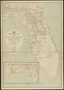
Post route map of the state of Florida showing post offices with the intermediate distances and mail routes in operation on the...
43.
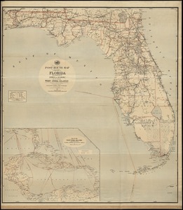
Post route map of the state of Florida showing post offices with the intermediate distances on mail routes in operation on the...
44.
Post route map of the State of Florida with adjacent parts of Georgia and Alabama also the neighboring West India Islands...
45.
Southern Railway system
46.
State of Florida
47.
The State of Florida : compiled in the Bureau of Topographical Engineers from the best authorities
48.
State of Florida
49.
Baton Rouge
50.
Breton Sound
‹ Prev
Next ›
1
2
3
4
5
…
9
10


![A map of West Florida and part of Et: Florida, Georgia part of So: Carolina i[n]cluding [torn] & Chactaw, Chickasaw & Creek nations with [torn] [r]oad [torn] Pensacola through ye: Creek nation to Augusitus & Charlestown](https://bpldcassets.blob.core.windows.net/derivatives/metadata/commonwealth-oai:v98001375/image_thumbnail_300.jpg)