Search Constraints
Search Results
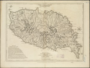


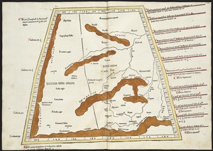
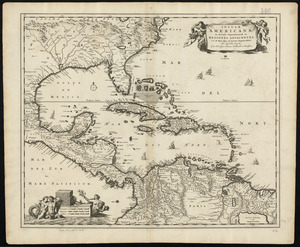
2403. Curaçao


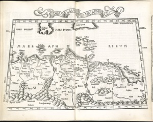

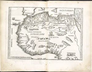
2407. Libyae interioris pars


2415. Septima Europae tabula

2416. Ta. here. Helve
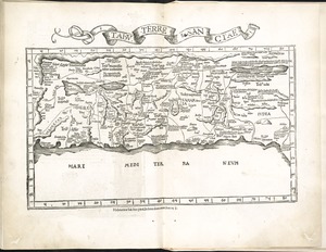
2422. Tabu. terre Sanctae
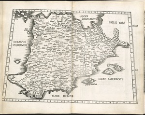
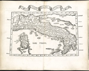
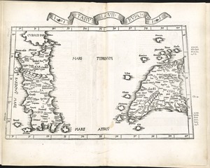
2423. Tabula I Europae
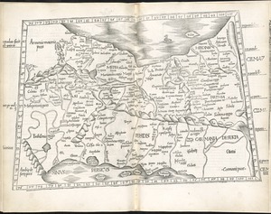
2424. Tabula II Europae
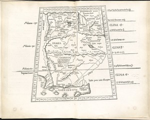
2425. Tabula IIII Asiae
2426. Tabula V Asiae
2427. Tabula VI Asiae
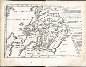
2428. Tabula VI Europae

2429. Tabula X Asiae

2430. Tabula X Europae

2431. Tabula XII Asiae


![Reading Village, east side [Massachusetts]](https://bpldcassets.blob.core.windows.net/derivatives/images/commonwealth:pv63g493p/image_thumbnail_300.jpg)

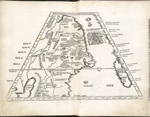
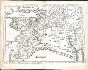
2439. Tabula I Aphri
2440. Tabula III Asiae
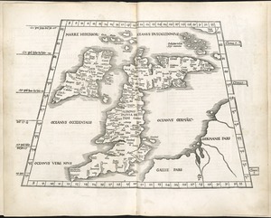
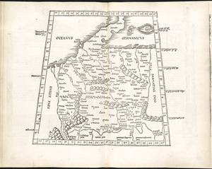
2441. Tabula III Europae
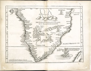
2442. Tabula IIII Aphricae
2443. Tabula IX Asiae
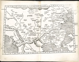
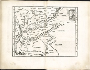
2444. Tabula IX Europae
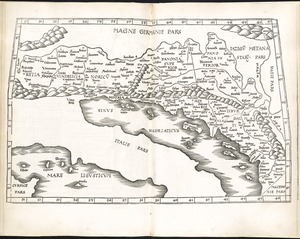
2445. Tabula V Europae
2446. Tabula VII Asiae
2447. Tabula VII Europae

2448. Tabula VIII Asiae

2449. Tabula VIII Europae

2450. Undecima Asiae tabula
![Greenwood, Town of Wakefield [Massachusetts]](https://bpldcassets.blob.core.windows.net/derivatives/images/commonwealth:c534g392b/image_thumbnail_300.jpg)

2452. The world
![[The World]](https://bpldcassets.blob.core.windows.net/derivatives/images/commonwealth:9g54xj67p/image_thumbnail_300.jpg)
2454. [The World]
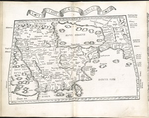
2455. Tabula II Asiae
2456. Tabula IIII Europae
2457. Stoneham, Massachusetts


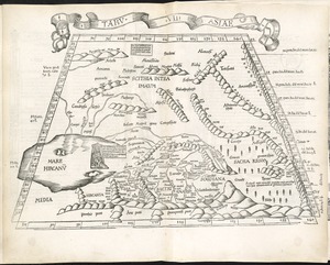
2461. Tabula XI Asiae

![[Palestina]](https://bpldcassets.blob.core.windows.net/derivatives/images/commonwealth:7h14b116r/image_thumbnail_300.jpg)
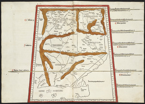
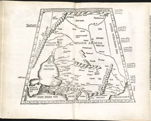
2463. [Palestina]
![Wakefield [Massachusetts]](https://bpldcassets.blob.core.windows.net/derivatives/images/commonwealth:c534g404x/image_thumbnail_300.jpg)
![Part of Wakefield [Massachusetts]](https://bpldcassets.blob.core.windows.net/derivatives/images/commonwealth:c534g4366/image_thumbnail_300.jpg)

![Part of Wakefield [Massachusetts]](https://bpldcassets.blob.core.windows.net/derivatives/images/commonwealth:c534g388r/image_thumbnail_300.jpg)


![Part of Wakefield [Massachusetts] Greenwood ; Town of Wakefield](https://bpldcassets.blob.core.windows.net/derivatives/images/commonwealth:c534g394w/image_thumbnail_300.jpg)
![Wakefield [Massachusetts] ; Greenwood ; Melrose](https://bpldcassets.blob.core.windows.net/derivatives/images/commonwealth:c534g400t/image_thumbnail_300.jpg)
