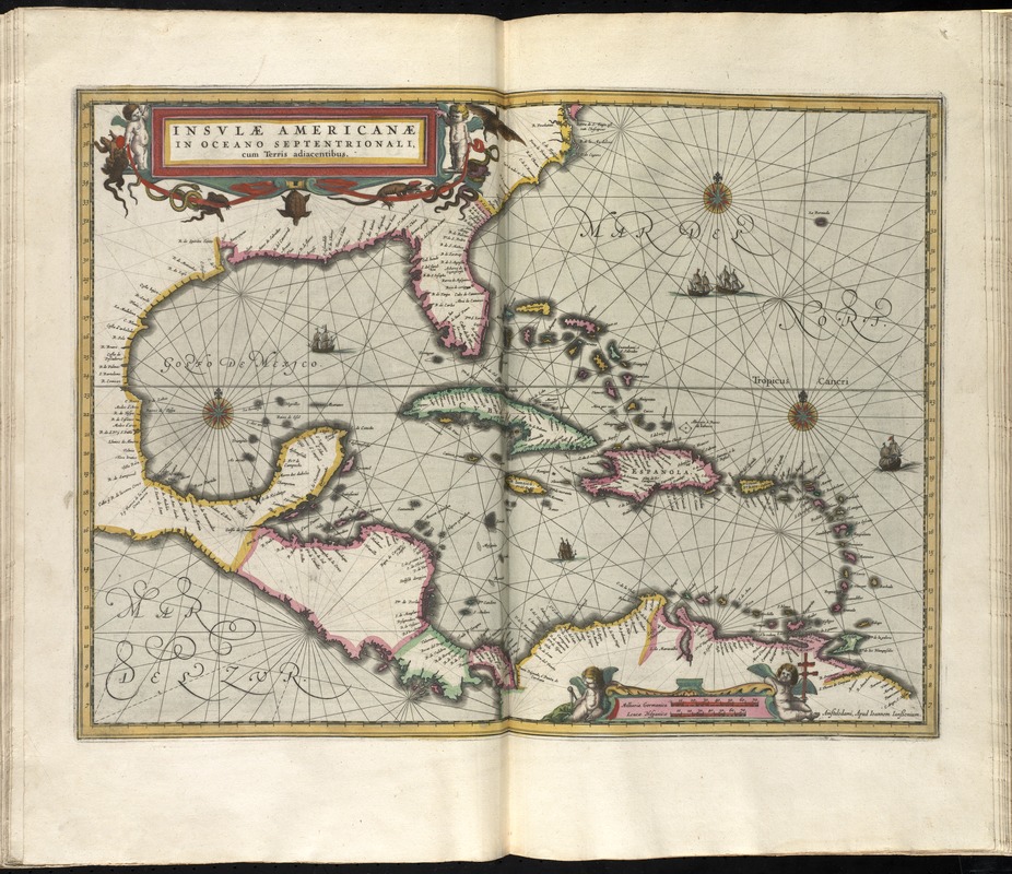
Insulae Americanae in Oceano Septentrionali cum terris adiacentibus
Item Information
- Title:
- Insulae Americanae in Oceano Septentrionali cum terris adiacentibus
- Title (alt.):
-
Insulae Americanae in Oceano Septentrionali cum terris adjacentibus
Insvlae Americanae in Oceano Septentrionali cum terris adiacentibus
- Creator:
- Jansson, Jan, 1588-1664
- Date:
-
[1638]
- Format:
-
Maps/Atlases
- Location:
-
Boston Public Library
Norman B. Leventhal Map & Education Center - Collection (local):
-
Norman B. Leventhal Map & Education Center Collection
- Subjects:
-
Coasts--North America--Maps--Early works to 1800
Coasts--South America--Maps--Early works to 1800
Caribbean Area--Maps--Early works to 1800
West Indies--Maps--Early works to 1800
Mexico, Gulf of--Maps--Early works to 1800
- Places:
-
North America (area)
South America
West Indies
Mexico, Gulf of
Caribbean Sea
- Extent:
- 1 map : hand col. ; 37 x 49 cm.
- Terms of Use:
-
No known copyright restrictions.
No known restrictions on use.
- Publisher:
-
Amstelodami :
Apud Ioannem Ianssonium
- Scale:
-
Scale [ca. 1:10,200,000]
- Language:
-
Latin
- Notes:
-
Show southeast coast of North America from Virginia to north coast of South America to east of Trinidad, west coast of Central America, West Indies.
Includes embellished title cartouche, scale and ill. of ships at sea.
Includes scales in milliaria germanica and leucae hispanicae.
Text in Latin on verso with running title "Hispaniola & Cuba, caption title "Insulae Americae praecipuae sunt Hispaniola et Cuba," and signature "Vuuu."
From Jansonius's and Hondius's Atlas novus ... Amstelodami : Apud Ionnem Ianssonium & Henricum Hondium, 1638.
Cataloging, conservation, and digitization made possible in part by The National Endowment for the Humanities: Exploring the human endeavor.
- Notes (date):
-
This date is inferred.
- Identifier:
-
06_01_008670
- Call #:
-
G1007 .A75 1638
- Barcode:
-
30000003826596


