Guadaloupe, done from actual surveys and observations of the English : whilst the island was in their possession
This map is also available in American Revolutionary Geographies Online (ARGO), a collections portal especially built for material relating to the American Revolutionary War Era. Visit ARGO to learn more about this item and explore the historical geography of North America in the late eighteenth century.
Item Information
- Title:
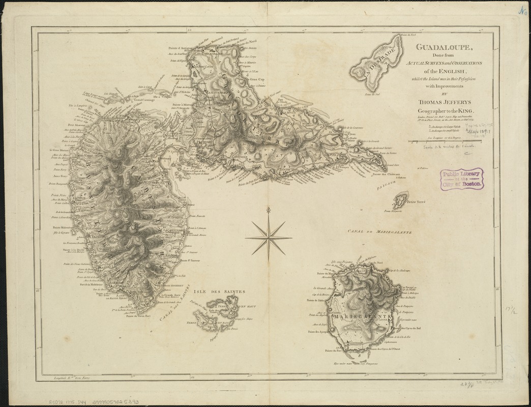
- Guadaloupe, done from actual surveys and observations of the English : whilst the island was in their possession
- Creator:
- Jefferys, Thomas, d. 1771
- Name on Item:
-
with improvements by Thomas Jefferys.
- Date:
-
1775
- Format:
-
Maps/Atlases
- Location:
-
Boston Public Library
Norman B. Leventhal Map & Education Center - Collection (local):
-
Norman B. Leventhal Map & Education Center Collection
- Subjects:
-
Guadeloupe--Maps--Early works to 1800
Marie-Galante (Guadeloupe)--Maps--Early works to 1800
- Places:
-
Guadeloupe (territory)
Guadeloupe (territory)Marie-Galante (island)
- Extent:
- 1 map ; 45 x 60 cm.
- Terms of Use:
-
No known copyright restrictions.
No known restrictions on use.
- Publisher:
-
London :
Printed for Robt. Sayer
- Scale:
-
Scale [ca. 1:300,000]
- Language:
-
English
- Notes:
-
Relief shown by hachures; depths shown by soundings.
Shows towns, forested areas, anchorages, shoals, churches, forts and batteries, etc.
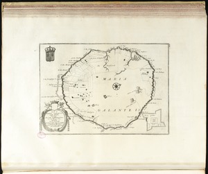
Includes adjoining islands of La Desirade, Isles de la Petite Terre, Isles des Saintes and Marie-Galante.
"Printed for Robt. Sayer, Map and Printseller, no. 53 in Fleet Street, as the Act directs 20 Feby. 1775."
Prime meridian: Ferro.
Appears in the author's West-India atlas. London : Robert Sayer and John Bennett, 1783 [i.e. 1788].
Cataloging, conservation, and digitization made possible in part by The National Endowment for the Humanities: Exploring the human endeavor.
- Identifier:
-
06_01_006392
- Call #:
-
G5072 1775 .J44
- Barcode:
-
39999059025393