Toggle navigation
LMEC Home
Exhibitions
Georeferencing
Tools for Teachers
Collections
My Favorites
Sign Up / Log In
Search
Search the map portal
Map Collection
Map Collection
Map Sets
Search
Search
Search for
Search In
All Fields
Creator
Title
Subject
Place
Search All Digital Collections
Advanced Search
13385 Results
Filter your Search
Place
North and Central America
10,111
United States
8,249
Massachusetts
2,691
Suffolk (county)
1,664
Boston
1,621
Europe
1,386
Canada
949
New York
640
more
Place
»
Topic
Boston (Mass.)--Maps
741
City planning--Massachusetts--Boston--Maps
418
United States--History--Revolution, 1775-1783--Maps
329
United States--Maps
315
Urban renewal--Massachusetts--Boston--Maps
254
Real property--Massachusetts--Boston--Maps
252
Massachusetts--Maps
219
Insurance surveys
197
more
Topic
»
Date
Date range begin
–
Date range end
Current results range from
1482
to
2023
View distribution
Creator
United States. Hydrographic Office
595
Boston Redevelopment Authority
403
Des Barres, Joseph F. W. (Joseph Frederick Wallet), 1722-1824
247
Royal United Services Institute for Defence and Security Studies
160
Jefferys, Thomas, -1771
154
George, III, King of Great Britain, 1738-1820
152
George, IV, King of Great Britain, 1762-1830
151
O.H. Bailey & Co
148
more
Creator
»
Format
Maps/Atlases
13,205
Manuscripts
985
Prints
102
Books
49
Drawings/Illustrations
44
Photographs
15
Objects/Artifacts
13
Documents
7
more
Format
»
Georeferenced
Yes
979
No
12,406
Collection
Norman B. Leventhal Map & Education Center Collection
8,891
American Revolutionary War-Era Maps
3,305
Boston and New England Maps
2,804
Urban Maps
2,397
Maritime Charts and Atlases
1,150
William L. Clements Library Collection
910
Library of Congress Collection
618
Boston Redevelopment Authority Collection
475
more
Collection
»
Available to use
No known restrictions
9,952
Creative Commons license
1,677
Search Constraints
Sort by date (desc)
relevance
title
date (asc)
date (desc)
Number of results to display per page
50 per page
10
per page
20
per page
50
per page
100
per page
View results as:
grid view
map view
Search Results
201.
Topographic map of Brighton and Allston
202.
View of the South End
203.
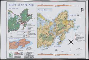
Views of Cape Ann
204.
Washington Street boulevard study : generalized land use - proposed
205.
Washington Street boulevard study : proposed fabric
206.
Washington Street boulevard study : corridor wide urban design strategy
207.
Wellhead protection areas in southeastern Massachusetts
208.
Sears Park conceptual site plan with historic waterway
209.
FPIR/FEIR Olmsted Plaza : a redevelopment of the Sears property, 309 Park Drive/201 Brookline Avenue in the Fenway
210.
Ruggles Center : existing condition plan
211.
Ruggles Center : site area diagram
212.
660 Wakulah St., Roxbury
213.
Hancock Woods : as of right plan
214.
Architectural styles, Chinatown historic core, historic edge
215.
General plan of the MWRA/MDC water system
216.
James Hayes Park
217.
John Hancock office and parking garage complex, Boston, Massachusetts
218.
Mass pike air rights study
219.
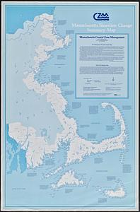
Massachusetts shoreline change summary map
220.
We must have order
221.
Zoning districts, city of Boston
222.
New Congress Street improvements
223.
Cultural facilities conceptual plan
224.
Midtown area plan for the public realm
225.
South End urban renewal area project Mass. r-56 site preparation contract no. 50 Worcester Square Park reconstruction
226.
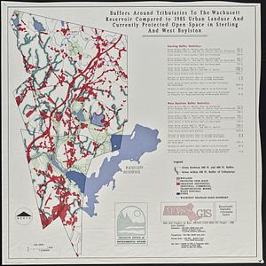
Buffers around tributaries to the Wachusett Reservoir compared to 1985 urban landuse and currently protected open space in...
227.
Charlestown Navy Yard area
228.
Charlestown Veterans Memorial, Charlestown, Massachusetts
229.
Chesapeake Bay, environmentally sensitive areas
230.
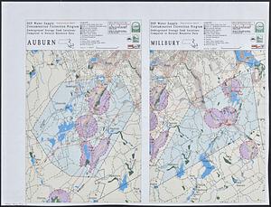
DEP water supply contamination correction program underground storage tank locations compared to natural resource data : Auburn...
231.
General and zoning map for town of Wakefield Mass.
232.
Landscaping plan of City Hall Plaza, Boston
233.
Landuse change on Cape Cod 1971-1984
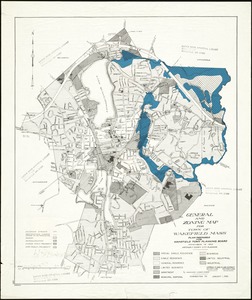
234.
Massachusetts Bay Transportation Authority system map
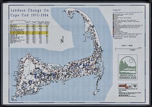
235.
Massachusetts river basins
236.
The nuclear weapons complex transportation routes
237.
Shawmut Avenue
238.
Hancock Woods EGA
239.
Conceptual plan
240.
Downtown and neighborhood cultural facilities
241.
Midtown improvement area
242.
Rose F. Kennedy Garden
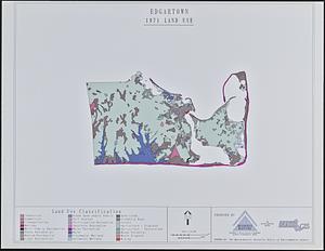
243.
Copley Square : layout and pavement plan with tree numbers added
244.
Conceptual plan
245.
Union Park landscape improvements
246.
Aerial photograph of South Boston
247.
Aerial photograph of South Boston
248.
Downtown Boston
249.
Edgartown 1971 to 1985 land use change
250.
Herald Street improvements
‹ Prev
Next ›
1
2
3
4
5
6
7
8
9
…
267
268