Search Constraints
Search Results
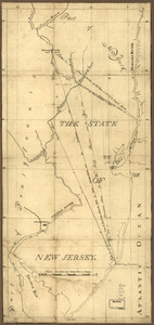
101. Part of New Jersey
![[Plan de defense de New-Port]](https://bpldcassets.blob.core.windows.net/derivatives/images/commonwealth:z603vn044/image_thumbnail_300.jpg)
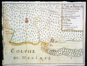
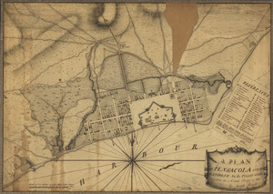
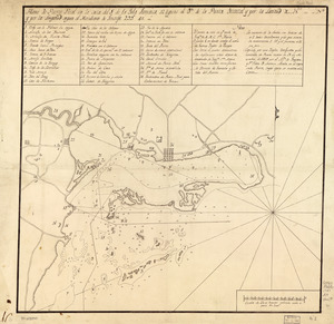
107. Plan de Pensacolle
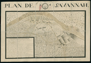
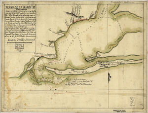
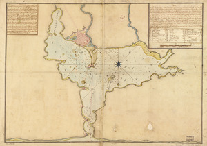
108. Plan de Savannah


![Plan of the city intended for the permanent seat of the government of t[he] United States](https://bpldcassets.blob.core.windows.net/derivatives/images/commonwealth:q524nf917/image_thumbnail_300.jpg)

![Plan of the peninsula of Chesopeak [sic] Bay](https://bpldcassets.blob.core.windows.net/derivatives/images/commonwealth:z603vn14c/image_thumbnail_300.jpg)
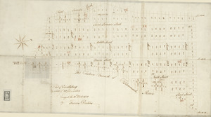
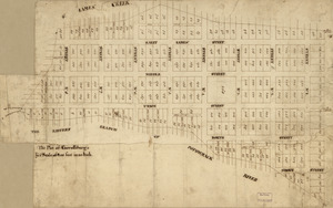
155. Plat of Carrollsburg
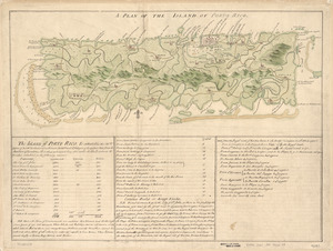
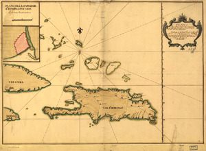
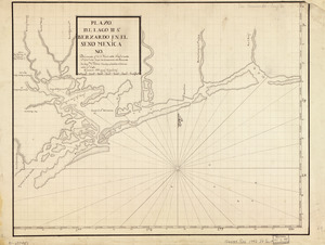
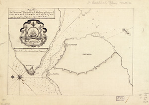
157. Pto. Rico
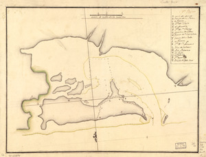
158. Pto. Rico
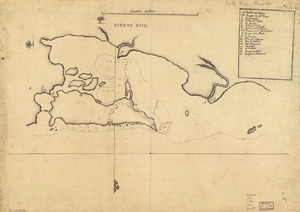
159. Puerto Rico
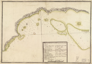
160. Savannah
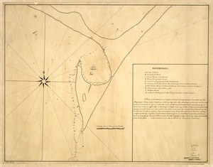
![S[i]r: This is minuts of the fort at Crown Point and of the redouts built round it; which I took on the mountain to the west of Crown Point abt. a miles distance](https://bpldcassets.blob.core.windows.net/derivatives/images/commonwealth:q524nd85w/image_thumbnail_300.jpg)


170. Tybee Island
171. Venango Co
172. W. Br. Pine Cr
![W. Su[q.?] Cr., Bradford Co](https://bpldcassets.blob.core.windows.net/derivatives/images/commonwealth:q524ng417/image_thumbnail_300.jpg)


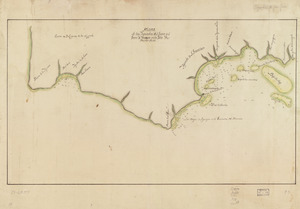
175. Ysla de Cuba

176. Annapolis Royal


180. Barrington Bay
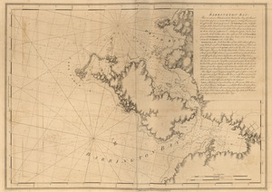
181. Barrington Bay
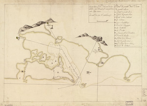
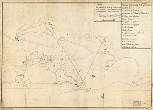
![[Battle of Bunker Hill]](https://bpldcassets.blob.core.windows.net/derivatives/images/commonwealth:z603vj11x/image_thumbnail_300.jpg)
![[Bunker Hill--rough sketch]](https://bpldcassets.blob.core.windows.net/derivatives/images/commonwealth:z603vj151/image_thumbnail_300.jpg)


185. Canso Harbor
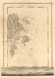
186. Canso Harbor


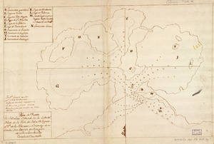
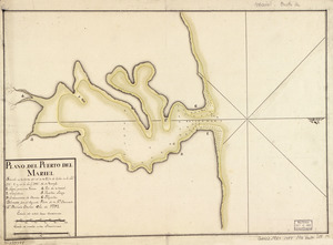
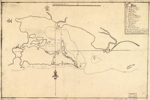
![[Chignecto Bay and vicinity]](https://bpldcassets.blob.core.windows.net/derivatives/images/commonwealth:z603vj91v/image_thumbnail_300.jpg)
![[Chignecto Bay and vicinity]](https://bpldcassets.blob.core.windows.net/derivatives/images/commonwealth:z603vj878/image_thumbnail_300.jpg)
![[Chignecto Bay and vicinity]](https://bpldcassets.blob.core.windows.net/derivatives/images/commonwealth:z603vj89t/image_thumbnail_300.jpg)
![[Chignecto Bay and vicinity]](https://bpldcassets.blob.core.windows.net/derivatives/images/commonwealth:z603vj85q/image_thumbnail_300.jpg)