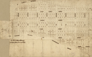
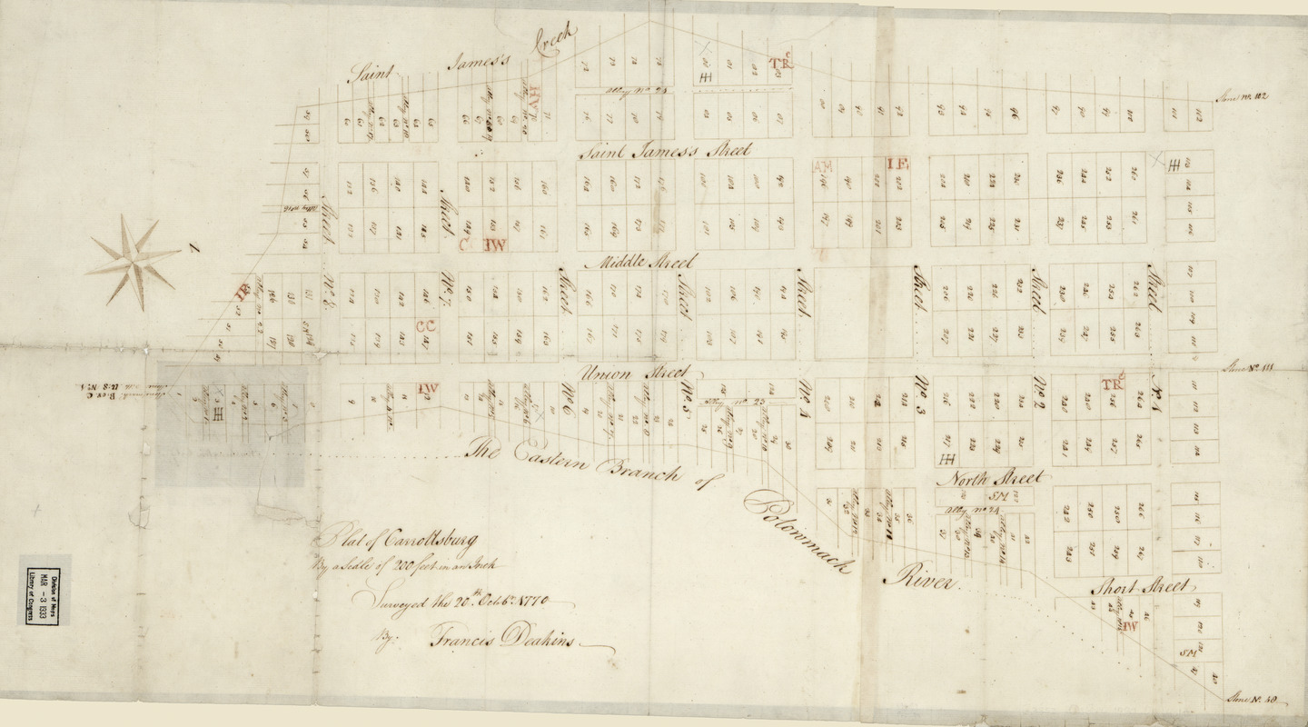
Plat of Carrollsburg
This map is also available in American Revolutionary Geographies Online (ARGO), a collections portal especially built for material relating to the American Revolutionary War Era. Visit ARGO to learn more about this item and explore the historical geography of North America in the late eighteenth century.
Item Information
- Title:
- Plat of Carrollsburg
- Title (alt.):
-
Plan of Carrollsburg that now forms a part of Washington City
- Creator:
- Deakins, Francis
- Name on Item:
-
surveyed the 20th Octob'r 1770 by Francis Deakins
- Date:
-
[1770]
- Format:
-
Maps/Atlases
Manuscripts
- Location:
- Library of Congress Geography and Map Division
- Collection (local):
-
Library of Congress Collection
- Subjects:
-
Carrollsburg (Washington, D.C.)--Maps, Manuscript--Early works to 1800
Carrollsburg (Washington, D.C.)--Surveys--Maps--Early works to 1800
Real property--Washington (D.C.)--Maps--Early works to 1800
Manuscript maps--Early works to 1800
- Places:
-
Carrollsburg (historical)
- Extent:
- 1 map : ms. ; 38 x 71 cm.
- Terms of Use:
-
No known copyright restrictions.
This work is licensed for use under a Creative Commons Attribution Non-Commercial Share Alike License (CC BY-NC-SA).

- Scale:
-
Scale [1:2,400]
- Language:
-
English
- Catalog Record:
-
https://lccn.loc.gov/88690859
- Notes:
-
Cadastral survey map showing lot numbers and some initials of proprietors.
Alternate title in ink on verso: Plan of Carrollsburg that now forms a part of Washington City.
Brown and red inks.
Oriented with north toward the upper right.
Originally drawn on 2 sheets.
Fold-lined, missing small sections, and mounted on cloth backing.
- Notes (date):
-
This date is inferred.
- Identifier:
-
la002262