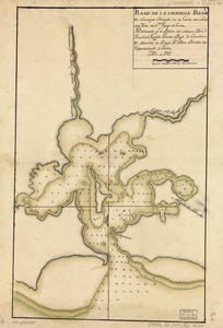
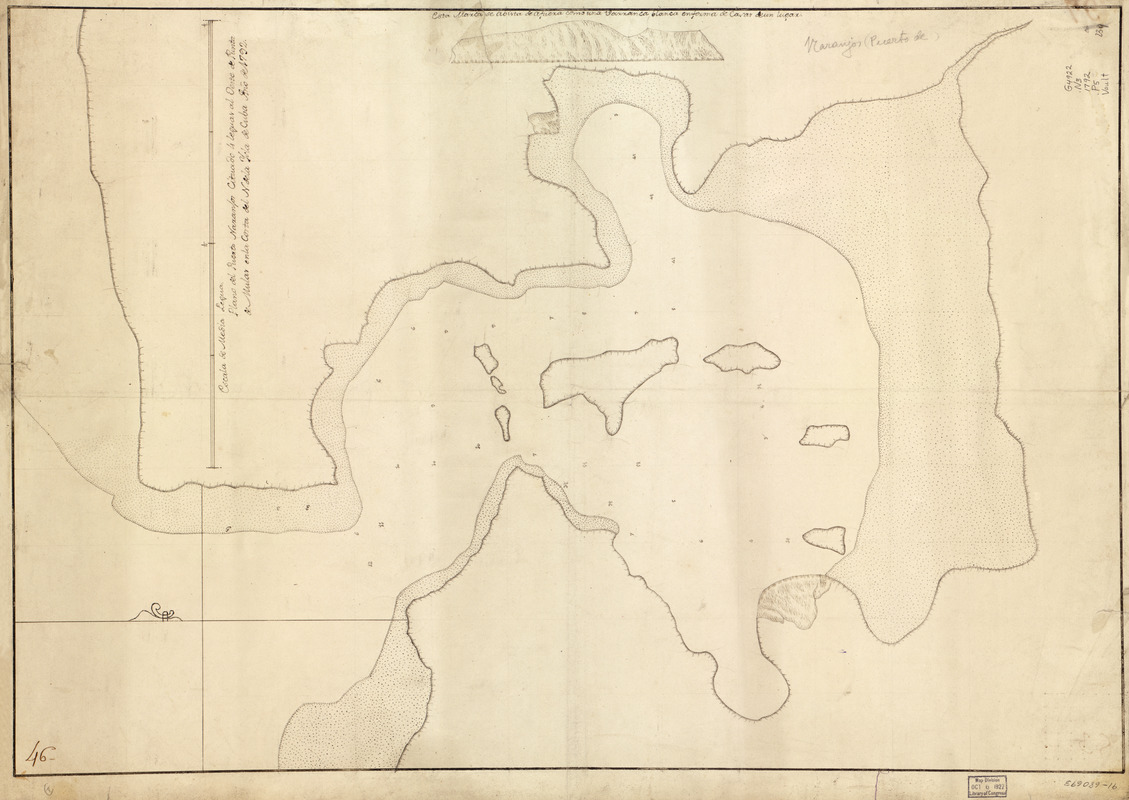
Plano del Puerto Naranjos cituado 4 leguas al oeste de Punta de Mulas en la costa del N. de la ysla de Cuba
This map is also available in American Revolutionary Geographies Online (ARGO), a collections portal especially built for material relating to the American Revolutionary War Era. Visit ARGO to learn more about this item and explore the historical geography of North America in the late eighteenth century.
Item Information
- Title:
- Plano del Puerto Naranjos cituado 4 leguas al oeste de Punta de Mulas en la costa del N. de la ysla de Cuba
- Name on Item:
-
año de 1792
- Date:
-
[1792]
- Format:
-
Maps/Atlases
Manuscripts
- Location:
- Library of Congress Geography and Map Division
- Collection (local):
-
Library of Congress Collection
- Subjects:
-
Naranjo Bay (Cuba)--Maps, Manuscript--Early works to 1800
Coasts--Cuba--Naranjo Bay--Maps--Early works to 1800
Manuscript maps--Early works to 1800
- Places:
-
Bahía de Naranjo
- Extent:
- 1 map : ms. ; 72 x 50 cm.
- Terms of Use:
-
No known copyright restrictions.
This work is licensed for use under a Creative Commons Attribution Non-Commercial Share Alike License (CC BY-NC-SA).

- Scale:
-
Scale [ca. 1:11,000]
- Language:
-
Spanish
- Catalog Record:
-
https://lccn.loc.gov/91680693
- Notes:
-
Relief shown pictorially. Depths shown by soundings.
Watermark: J. Whatman.
Pen-and-ink.
Mounted on cloth backing.
Includes relief profile.
Annotated in brown ink in upper left corner: 46.
Maggs number annotated in pencil in lower right corner: 239.
- Notes (date):
-
This date is inferred.
- Notes (citation):
-
LC Luso-Hispanic World, 339
- Identifier:
-
lh000339