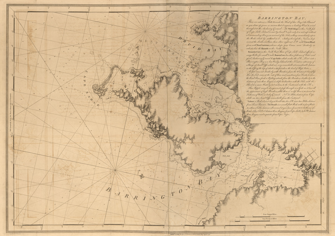
Barrington Bay
This map is also available in American Revolutionary Geographies Online (ARGO), a collections portal especially built for material relating to the American Revolutionary War Era. Visit ARGO to learn more about this item and explore the historical geography of North America in the late eighteenth century.
Item Information
- Title:
- Barrington Bay
- Publisher:
- Des Barres, Joseph F. W. (Joseph Frederick Wallet), 1722-1824
- Date:
-
1776
- Format:
-
Maps/Atlases
- Location:
- Library of Congress Geography and Map Division
- Collection (local):
-
Library of Congress Geography and Map Division
- Subjects:
-
Coasts--Nova Scotia--Maps
Barrington Bay (N.S.)--Maps
- Places:
-
Barrington Bay
- Extent:
- 1 map ; 74 x 104 cm.
- Terms of Use:
-
No known copyright restrictions.
This work is licensed for use under a Creative Commons Attribution Non-Commercial Share Alike License (CC BY-NC-SA).

- Publisher:
-
[London] :
J.F.W. Des Barres
- Scale:
-
Scale [ca. 1:29,500]
- Language:
-
English
- Catalog Record:
-
https://lccn.loc.gov/75332514
- Notes:
-
State 3. Coast shoals stippled, and in several places extended outward; an outer line of shoals was added on part of Sable Island; relief shading added along the coast and banks of rivers; longitude corrected from 60° to 65°.


