Toggle navigation
LMEC Home
Exhibitions
Georeferencing
Tools for Teachers
Collections
My Favorites
Sign Up / Log In
Search
Search the map portal
Map Collection
Map Collection
Map Sets
Search
Search
Search for
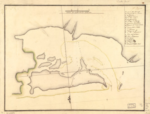
Search In
All Fields
Creator
Title
Subject
Place
Search All Digital Collections
Advanced Search
527 Results
My Search
Start Over
More Like
commonwealth:q524nh074
Remove constraint More Like: commonwealth:q524nh074
Filter your Search
Place
North and Central America
459
United States
324
New York
41
Canada
26
Florida
20
Mississippi
18
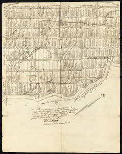
Alabama
17
Chatham (county)
16
more
Place
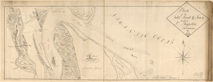
»
Topic
Manuscript maps--Early works to 1800
138
Manuscript maps
21
Gulf Coast (U.S.)--Maps, Manuscript--Early works to 1800
12
Fortification--New York (State)--New York--Maps--Early works to 1800
11
New York (N.Y.)--Buildings, structures, etc--Maps, Manuscript--Early works to 1800
9
New York (N.Y.)--Maps, Manuscript--Early works to 1800
8
Saratoga Campaign, N.Y., 1777--Maps, Manuscript--Early works to 1800
8
Coasts--Florida--Maps--Early works to 1800
7
more
Topic
»
Date
Date range begin
–
Date range end
Current results range from
1700
to
1899
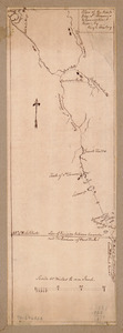
View distribution
Creator
Hills, John, (Surveyor)
18
Montrésor, John, 1736-1799
16
Dumont de Montigny
14
Bingham, William, 1752-1804
12
Adlum, John, 1759-1836
10
Washington, George, 1732-1799
9
Faden, William, 1749-1836
7
Morgan, Benjamin, (Draftsman)
7
more
Creator
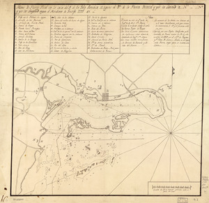
»
Format
Maps/Atlases
525
Manuscripts
522
Objects/Artifacts
2
Georeferenced
Yes
6
No
521
Collection
American Revolutionary War-Era Maps
522
Library of Congress Collection
485
Newberry Library Collection
39
Maritime Charts and Atlases
31
Urban Maps
17
Boston and New England Maps
4
Norman B. Leventhal Map Center Collection
3
Available to use
Creative Commons license
485
No known restrictions
3
Search Constraints
Sort by relevance
relevance
title
date (asc)
date (desc)
Number of results to display per page
100 per page
10
per page
20
per page
50
per page
100
per page
View results as:
grid view
map view
Search Results
1.
Map showing coast in the regions of Aguadilla, Añasco, and Mayagüez
2.
Map showing coast in the regions of Aguadilla, Añasco, and Mayagüez
3.
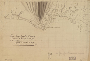
Plano d. las aguads. d. Sn. Juan y Sn. Franco. d. Añasco en la ysla d. Pto. Rico
4.
Plano de las aguadas de S. Juan y S. Franco. & Anasco en la ysla de Puerto Rico
5.
Plano de la enzenada de San Franco. en la parte occl. de la ysla de Puerto Rico
6.
20 tracts, Charleston
7.
Armstrong County
8.
Boston & harbour
9.
Boston Harbor, Massachusetts
10.
Cantonment of His Majesty's forces in N. America : according to the disposition now made & to be compleated as soon as...
11.
Cantonment of the forces in North America 11th. Octr. 1765
12.
Carta esférica de la canal entre Puerto Rico y Santo Domingo
13.
Carta esférica de la Ysla de la Granada
14.
Carte de l'entrée du port et rade de Pensacola
15.
Cawanesque
16.
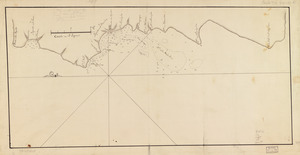
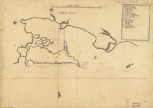
Chart of the sea coast from latitude 27⁰00ʹ00ʺ to 27⁰20ʹ00ʺ, with Little Inlet & River into Hillsborough River ; Chart of the...
17.
Chart of the sea coast from lattde. 26⁰20ʹ00ʺ to 26⁰ & 40ʹ00ʺ with the head of Sharkshead River ; Chart of New Inlet ; Chart of...
18.
Costa desde la Mobila asta la Bahía de Sn. Josef
19.
Cuba, ciudad capittal de la ysla del mismo nombre y su famoso puerto sittuado en la costa del sur de gra. ysla, los 20 grados y...
20.
Descripción ychonográfica de la ciudad, puerto y bahía de Santiago de Cuba situado en 20⁰6ʹ de latitud norte y en longd. de...
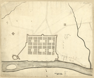
21.
Dotted line map of Washington, D.C., 1791, before Aug. 19th
22.
Draft of roads in New Jersey
23.
A draught of Lake George, and part of Hudson's River taken September 1756
24.
Fort Edward to Crown Point
25.
Jefferson, Venango & Armstrong
26.
Land ownership map of the William Bingham estate in Potter County, Pennsylvania
27.
Lines run in the Jersies for determining boundaries between that Province & New York
28.
Map of part of the city of Washington shewing the situation of the mansion house, grave yard & buildings belonging to Mr....
29.
A map of Potomack and James rivers in North America shewing their several communications with the navigable waters of the new...
30.
Map of the coast of Georgia, bordering on Camden and Glynn counties : showing also the course and soundings of the Alatamaha,...
31.
Map of the country between and bordering the Delaware River and Chesapeake Bay : showing roads to Philadelphia and localities
32.
A Map of the lands ceded by the Cherokee Indians to the State of South-Carolina : at a congress held in May, A.D. 1777;...
33.
A map with part of the Florida coast from Cape Blaise to Apalachie : with the boundaries betwixt East & West Floridas, 160...
34.
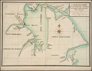
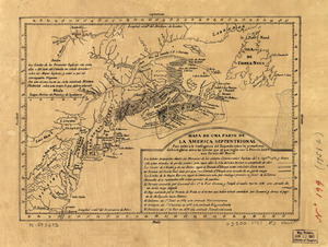
Mapa de una parte de la America Septentrional
35.
New Hampshire
36.
Nuevo plano de Puerto Rico
37.
Pansacola o Santta María de Galbe, puerto y presidio del Ry. de España situado en la costa del nortte del Seno Mexicano, los...
38.
Part of New Jersey
39.
Plan of a rout undertaken in winter, Jany. 26th : from Quebec, the capital of Canada, to the frontier settlements of the...
40.
A plan of a survey made to explore the country for a road between Connecticut River & St. Francis
41.
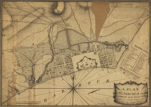
A plan of Pensacola and its environs in its present state : from an actual survey in 1778
42.
Plan of the attack on Fort William Henry and Ticonderoga : showing the road from Fort Edward, Montcalm's camp and wharf of...
43.
A Plan of the Battle of Bunker Hill
44.
Plan of the city intended for the permanent seat of the government of t[he] United States : projected agreeable to the...
45.
A plan of the division line between the provinces of New-York and Quebec : In the 45th degree of north latitude. Survey'd in...
46.
A plan of the harbour of Cape Lookout surveyed and sounded by His Majesty's sloop Viper
47.
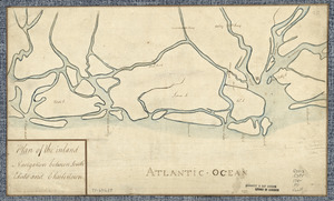
Plan of the inland navigation between South Edisto and Charlestown
48.
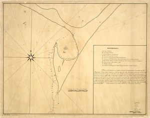
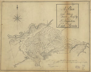
Plan of the inlet, strait, & town of St. Augustine
49.
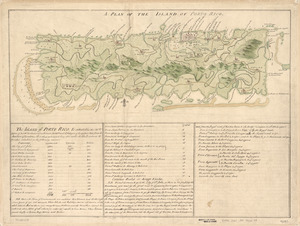
A Plan of the island of Porto Rico
50.
A plan of the land between Fort Mossy and St. Augustine in the province of East Florida
51.
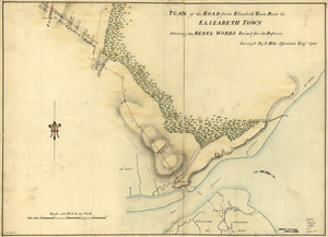
Plan of the road from Elizabeth Town Point to Elizabeth Town : shewing the rebel works raised for its defence
52.
Plan of the route from St. Francis to Connecticut River
53.
Plan of the Town of Turner, formerly Silvester Plantation : out side lines and part of the lotts ran out
54.
Plano d. las aguadas d. Sn. Juan y Sn. Franco. d. Añasco en la ysla de Pto. Rico, año d. 1787
55.
Plano de la Bahía de Fort Real cituado a la parte del oeste de la Ysla Martinica
56.
Plano de la Bahía de Ocoa situado en la banda del sur de la Ysla Española
57.
Plano de la bahia de Pansacola
58.
Plano de la Ysla de Santo Domingo, parte de las Cuba, Jamaica y otras contiguas a ellas, del seno mexicano
59.
Plano de Pto. Rico en la ysla de este nombre situado en 18⁰37ʹ de latitd. N. y en 59⁰42ʹ de longd. O. de Cádiz
60.
Plano de Puerto Real en la costa del S. de la Ysla Jamaica, 12 leguas al ote. de la Punta Oriental y por la latitud de...
61.
Plano de Puerto Rico, situado en la parte septemtrional de la ysla de este nombre, una de las de Barlovento en la lattd. de...
62.
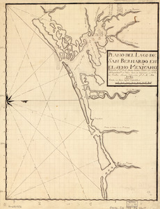
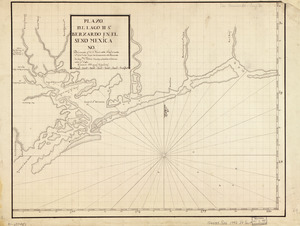
Plano del Lago de San Bernardo en el Seno Mexicano
63.
Plano del Lago de Sn. Bernardo en el Seno Mexica no
64.
Plano del pto. de Fuerte Delfin en la Ys. Española de Sto. Domingo situado en la latd. de 19⁰40ʹ N. y en longd. de 66⁰20ʹ al...
65.
Plano del Puerto de Cabañas situado en la costa del norte de la ysla de Cuba, 12 leguas al ote. de la Havana
66.
Plano del Puerto de la Havana
67.
Plano del Puerto de Sn. Christobal de la Habana situado en la costa del N. de la ysla de Cuba en la latd. de 23 gs. 10 ms. y en...
68.
Plano del puerto de Sn. Juan de Puerto Rico
69.
Plano del puerto de Sn. Juan de Puerto Rico
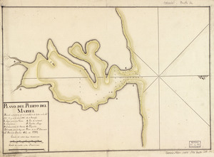
70.
Plano del Puerto del Mariel situado en la costa del N. de la ysla de Cuba en la latd. 23⁰5ʹ y en la longd. 293⁰16ʹ de Tenerife
71.
Plano del Puerto Naranjos cituado 4 leguas al oeste de Punta de Mulas en la costa del N. de la ysla de Cuba
72.
Plano geométrico de la rada y carenero de San Jorge en la costa occidl. de la ysla de la Granada
73.
Plat of Carrollsburg
74.
The plot of Carroll'sburgh : [part of Washington D.C.]
75.
Pto. Rico
76.
Pto. Rico
77.
Puerto Rico
78.
Savannah
79.
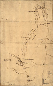
S[i]r: This is minuts of the fort at Crown Point and of the redouts built round it; which I took on the mountain to the west of...
80.
A Sketch of the harbour of St. Iago de Cuba
81.
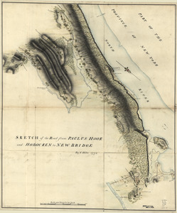
Sketch of the road from Paulus Hook and Hobocken to New Bridge
82.
Special chart of Cape Florida belonging to the 13th section
83.
Special chart of Muskito Inlet
84.
St. Augustine and its environs
85.
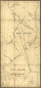
The State of New Jersey
86.
Susquehanna & Sinnemahoning
87.
Ticonderoga as it was in 1759
88.
Tybee Island
89.
Venango Co
90.
W. Br. Pine Cr
91.
W. Su[q.?] Cr., Bradford Co
92.
1. Prise de Newport par d'Estaing, 1778 : 2. Embossage de Ternay à Newport, 1780
93.
Amerique Septentrionale : Acadie ou Nouvelle Ecosse aux anglois : Annapolis Royal
94.
Barbadoes
95.
[Boston Harbour, with the surroundings, &c]
96.
Boston, its environs and harbour : with the rebels works raised against that town in 1775
97.
Boston, S. West part : No. 25
98.
Campement de l'armée à Tombecbe
99.
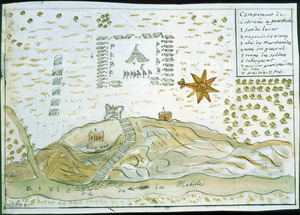
[Campement] de l'armée franc̦oise [devant u]n village des ennemis, les Chicachas le 26 [de mais] 1736
100.
Carte angloise de la Baye de Hudson ou la compagnie apellee Hudson Bay fait son commerce : tirée de la liasse des concecions...
‹ Prev
Next ›
1
2
3
4
5
6


![Chart of the sea coast from latitude 27⁰00ʹ00ʺ to 27⁰20ʹ00ʺ, with Little Inlet & River into Hillsborough River ; Chart of the sea coast from latitude 26⁰40ʹ00ʺ to [27⁰]00ʹ00ʺ, the Leech Shoal & Hillsborough River](https://bpldcassets.blob.core.windows.net/derivatives/images/commonwealth:q524nd97p/image_thumbnail_300.jpg)


![Plan of the city intended for the permanent seat of the government of t[he] United States](https://bpldcassets.blob.core.windows.net/derivatives/images/commonwealth:q524nf917/image_thumbnail_300.jpg)

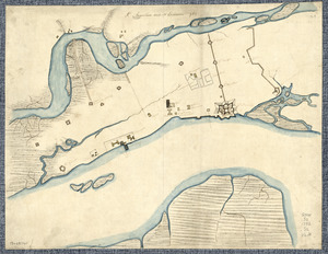
![S[i]r: This is minuts of the fort at Crown Point and of the redouts built round it; which I took on the mountain to the west of Crown Point abt. a miles distance](https://bpldcassets.blob.core.windows.net/derivatives/images/commonwealth:q524nd85w/image_thumbnail_300.jpg)


![W. Su[q.?] Cr., Bradford Co](https://bpldcassets.blob.core.windows.net/derivatives/images/commonwealth:q524ng417/image_thumbnail_300.jpg)


![[Boston Harbour, with the surroundings, &c]](https://bpldcassets.blob.core.windows.net/derivatives/images/commonwealth:t722hs94d/image_thumbnail_300.jpg)


![[Campement] de l'armée franc̦oise [devant u]n village des ennemis, les Chicachas le 26 [de mais] 1736](https://bpldcassets.blob.core.windows.net/derivatives/images/commonwealth:z603vn65v/image_thumbnail_300.jpg)