Search Constraints
Search Results


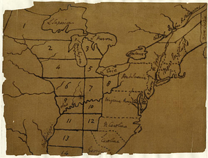
222. United States

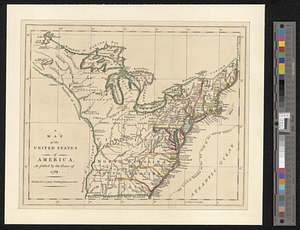
223. United States

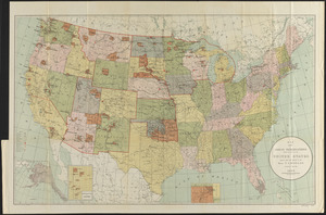
224. United States

![[United States]](https://bpldcassets.blob.core.windows.net/derivatives/images/commonwealth:7h149x55n/image_thumbnail_300.jpg)
226. [United States]

227. United States

228. United States


230. United States

231. United States


258. Victory map

259. Victory map 1919


264. Woman suffrage, 1875

265. Woman suffrage, 1900

266. Woman suffrage, 1915