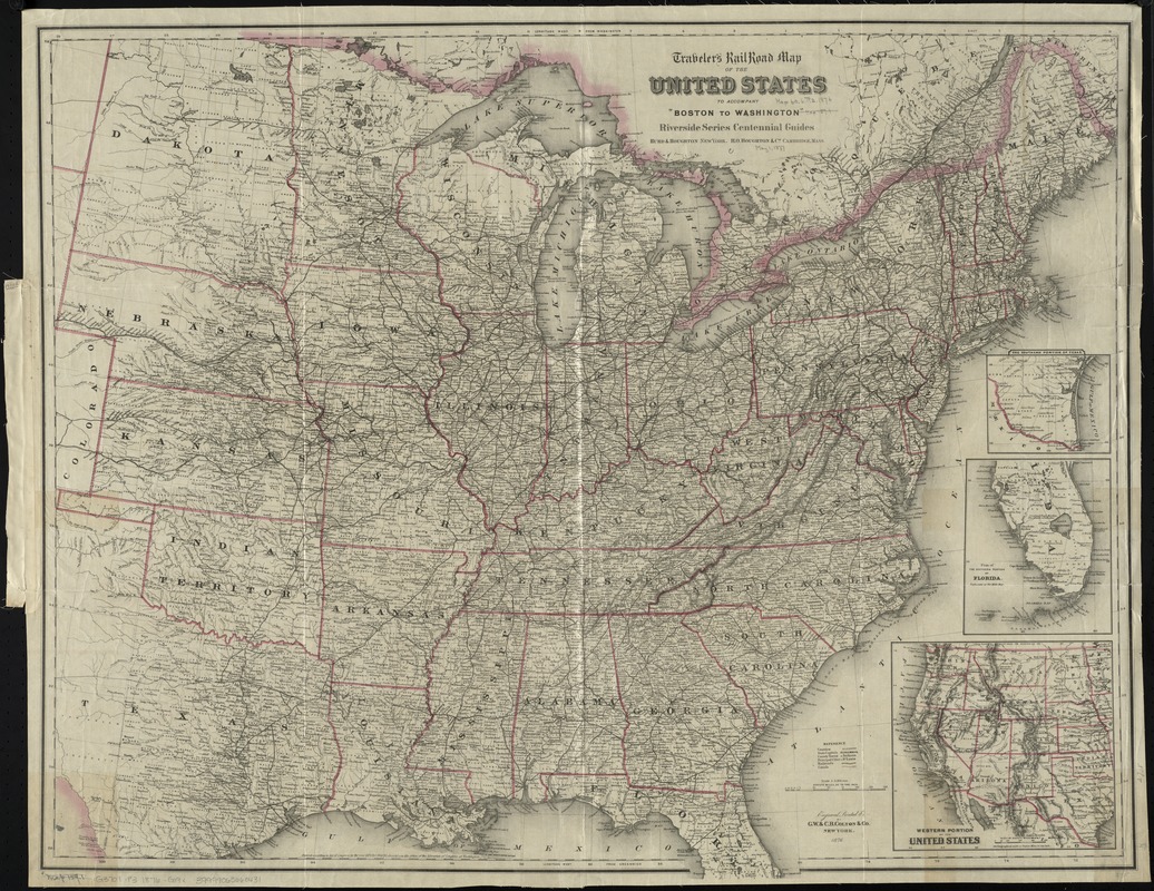
Traveler's rail road map of the United States to accompany "Boston to Washington" Riverside Series Centennial Guides
Item Information
- Title:
- Traveler's rail road map of the United States to accompany "Boston to Washington" Riverside Series Centennial Guides
- Creator:
- G.W. & C.B. Colton & Co
- Name on Item:
-
engraved, printed &c. by G.W. & C.B. Colton & Co.
- Date:
-
1876
- Format:
-
Maps/Atlases
- Location:
-
Boston Public Library
Norman B. Leventhal Map & Education Center - Collection (local):
-
Norman B. Leventhal Map & Education Center Collection
- Subjects:
-
Railroads--United States--Maps
United States--Maps
- Places:
-
United States
- Extent:
- 1 map : col. ; 76 x 95 cm.
- Terms of Use:
-
No known copyright restrictions.
No known restrictions on use.
- Publisher:
-
New York ; Cambridge, Mass :
Hurd & Houghton ; H.O. Houghton & Co.
- Scale:
-
Scale 1:3,168,000
- Language:
-
English
- Notes:
-
Prime meridians: Washington and Greenwich.
Relief shown by hachures.
Insets: The southern portion of Texas -- Plan of the southern portion of Florida -- Western portion of the United States.
- Identifier:
-
06_01_009233
- Call #:
-
G3701.P3 1876 .G19x
- Barcode:
-
39999065660431


