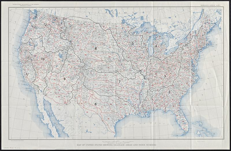
Map of United States showing drainage areas and index numbers
Item Information
- Title:
- Map of United States showing drainage areas and index numbers
- Cartographer:
- Geological Survey (U.S.)
- Name on Item:
-
United States Department of the Interior, Geological Survey
- Date:
-
[1948]
- Format:
-
Maps/Atlases
- Location:
-
Boston Public Library
Norman B. Leventhal Map & Education Center - Collection (local):
-
David Judkins Weaver Papers
- Subjects:
-
United States--Maps
Drainage--United States--Maps
Water-supply--United States--Maps
- Places:
-
United States
- Extent:
- 1 map : color ; 43 x 71 cm
- Terms of Use:
-
No known copyright restrictions.
No known restrictions on use.
- Publisher:
-
[Washington] :
[Government Printing Office]
- Scale:
-
Scale 1:7,000,000
- Language:
-
English
- Notes:
-
Plate 2 from Water-supply paper 995 Index to river surveys made by the United States Geological Survey and other agencies : revised to July 1, 1947 / by Benjamin E. Jones and Randolph O. Helland.
"Base compiled by Henry Gannett."
- Notes (date):
-
This date is inferred.
- Identifier:
-
06_01_018802
- Call #:
-
Weaver folder 15 no. 6


