Search Constraints
Search Results


![Tractus regni Angliae septentrion[alis] in quo ducatus Eboracensis, episcopatus Dunelmensis, comitatus Northumbriae, Cumbriae, Westmoriae et Lancastriae cum Mona insula](https://bpldcassets.blob.core.windows.net/derivatives/images/commonwealth:cj82kr11k/image_thumbnail_300.jpg)

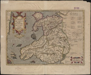
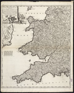
10. Cambriae typus


19. 1630 shoreline


25. 227 Harzgerode

26. 305 Glatz


28. 4 Kinten

![[A chart of Boston Bay and vicinity]](https://bpldcassets.blob.core.windows.net/derivatives/images/commonwealth:cj82m2976/image_thumbnail_300.jpg)


69. Adriatic


71. Aegyptus Antiqua


82. Africa


84. Africa

85. Africa

86. Africa

87. Africa

88. Africa


