Search Constraints
Search Results


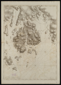
![[Coast of Maine from Frenchman Bay to Mosquito Harbor]](https://bpldcassets.blob.core.windows.net/derivatives/images/commonwealth:cj82m295n/image_thumbnail_300.jpg)


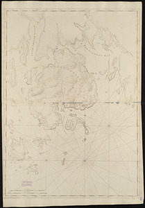
![[Coast of New England from York Harbor to North Beach]](https://bpldcassets.blob.core.windows.net/derivatives/images/commonwealth:7h149z874/image_thumbnail_300.jpg)


20. 1630 shoreline


26. 227 Harzgerode

27. 305 Glatz


29. 4 Kinten

![[A chart of Boston Bay and vicinity]](https://bpldcassets.blob.core.windows.net/derivatives/images/commonwealth:cj82m2976/image_thumbnail_300.jpg)


71. Adriatic


73. Aegyptus Antiqua


84. Africa


86. Africa

87. Africa

88. Africa

89. Africa

90. Africa

91. Africa


