Search Constraints
Search Results

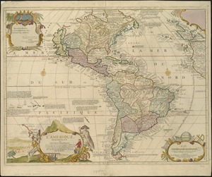
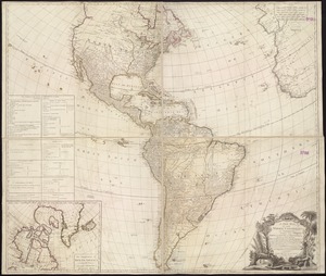
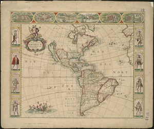
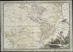
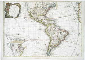
1. America

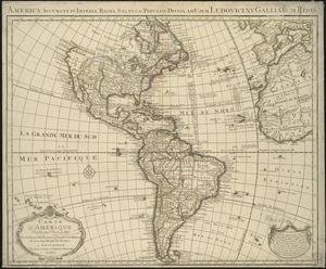
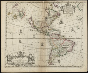
2. America


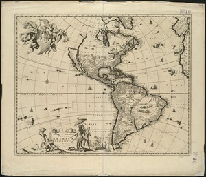
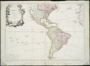
11. Americae

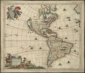
12. Americae


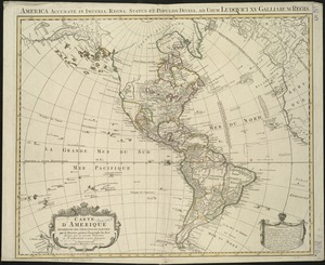
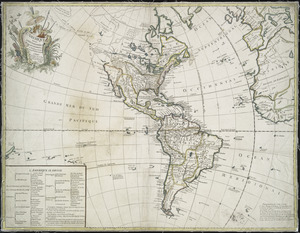
17. L'Amérique


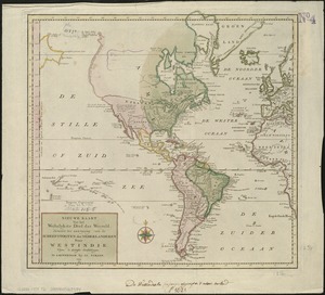
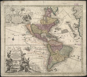


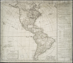
41. America


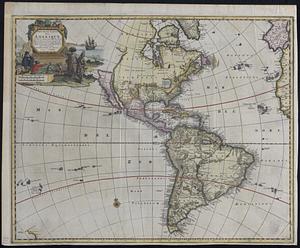
49. America


61. La Florida


![Nov[us] orbis sive America septentrionalis, divisa per sua regna provinc. et insul](https://bpldcassets.blob.core.windows.net/derivatives/images/commonwealth:wd376505f/image_thumbnail_300.jpg)


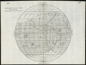
![Tipus orbis uniuersalis iuxta Ptolomei cosmographi traditionem et Americi Vespucii alior[um]que](https://bpldcassets.blob.core.windows.net/derivatives/images/commonwealth:j3860806q/image_thumbnail_300.jpg)
![Tipus orbis uniuersalis iuxta Ptolomei cosmographi traditionem et Americi Vespucii alior[um]que](https://bpldcassets.blob.core.windows.net/derivatives/images/commonwealth:3f463b65n/image_thumbnail_300.jpg)


84. 1630 shoreline


90. 227 Harzgerode

91. 305 Glatz


![[A chart of Boston Bay and vicinity]](https://bpldcassets.blob.core.windows.net/derivatives/images/commonwealth:cj82m2976/image_thumbnail_300.jpg)


