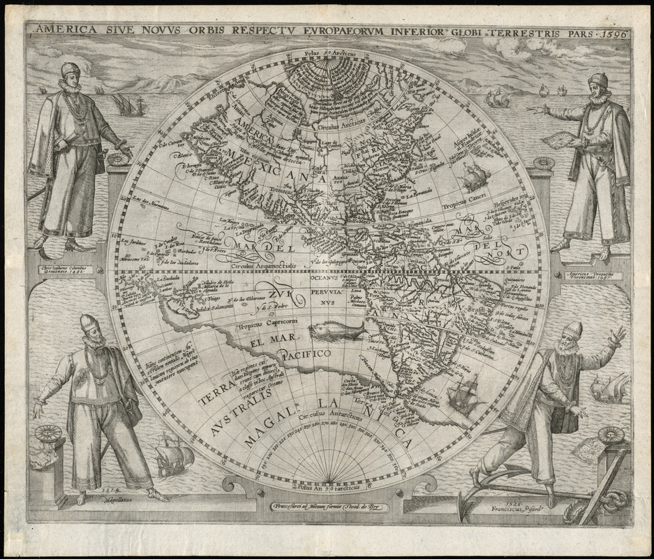
America sive novvs orbis respectv Evropaeorvm inferior globi terrestris pars
Item Information
- Title:
- America sive novvs orbis respectv Evropaeorvm inferior globi terrestris pars
- Title (alt.):
-
America sive novus orbis respectu Europaeorum inferior globi terrestris pars
- Creator:
- Bry, Theodor de, 1528-1598
- Contributor:
- White, John, fl. 1585-1593
- Contributor:
- Le Moyne de Morgues, Jacques, d. 1588
- Date:
-
[1596]
- Format:
-
Maps/Atlases
- Location:
-
Boston Public Library
Norman B. Leventhal Map & Education Center - Collection (local):
-
Norman B. Leventhal Map & Education Center Collection
- Subjects:
-
North America--Maps--Early works to 1800
Central America--Maps--Early works to 1800
South America--Maps--Early works to 1800
America--Discovery and exploration--Maps--Early works to 1800
Western Hemisphere--Maps--Early works to 1800
- Places:
-
North America (area)
South America
Mesoamerica (area)
South America
America
- Extent:
- 1 map ; 28 cm. in diam., on sheet 33 x 41 cm.
- Terms of Use:
-
No known copyright restrictions.
No known restrictions on use.
- Publisher:
-
Francofurti ad Moenum :
Formis Theod. de Bry
- Scale:
-
Scale [ca. 1:30,000,000]
- Language:
-
Latin
- Notes:
-
Relief shown pictorially.
Prime meridian: Ferro.
Four explorers support the circle enclosing the hemisphere in a maritime landscape. The explorers with dates of their discoveries are from top left: Christopher Columbus (1492) and Amerigo Vespucci (1497); from bottom left: Ferdinand Magellan (1519), and Francisco Pizarro (1526).
Includes illustrations of ships and a monstrous fish.
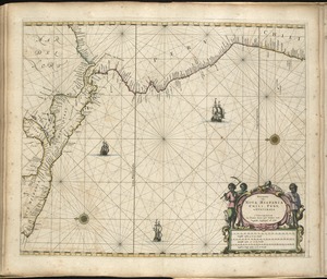
First map of America to show the White-le Moyne geography of Virginia and Florida.
From part 6 of de Bry's Grands voyages.
- Notes (date):
-
This date is inferred.
- Identifier:
-
06_01_009911
- Call #:
-
BPL Rare Books Dept. G.281.51
- Barcode:
-
30000003908840