Search Constraints
Search Results
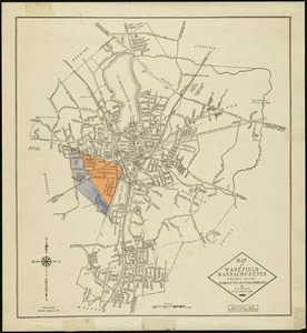
13001. Wakefield, Massachusetts
13002. Wakefield, Massachusetts
13003. Wakefield, Massachusetts
![Wakefield [Massachusetts]](https://bpldcassets.blob.core.windows.net/derivatives/images/commonwealth:c534g404x/image_thumbnail_300.jpg)
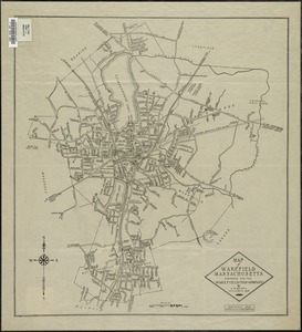
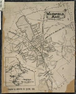
13004. Wakefield [Massachusetts]
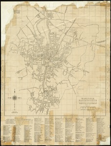
13005. Wakefield, Massachusetts
13006. Wakefield, Massachusetts

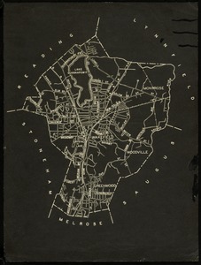
![Wakefield [Massachusetts] ; Greenwood ; Melrose](https://bpldcassets.blob.core.windows.net/derivatives/images/commonwealth:c534g400t/image_thumbnail_300.jpg)


13010. Die Walachei


13013. Wales


13019. Waltham, 1911

13020. Walworth County, Wis.
![Wamsutta Mills (Cotton Mill), New Bedford, Mass. [insurance map]](https://bpldcassets.blob.core.windows.net/derivatives/images/commonwealth:ww72bz961/image_thumbnail_300.jpg)
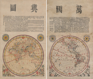
13022. Wanguo yutu
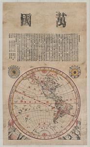
13023. Wanguo yutu


13028. War maps and diagrams


13030. War telegram marking map
![Ward 1 [of Boston]](https://bpldcassets.blob.core.windows.net/derivatives/images/commonwealth:jh343z28f/image_thumbnail_300.jpg)
13031. Ward 1 [of Boston]

13032. Ward boundaries 1959


13035. Wards & precincts


13037. Warner, N.H : 1887

13038. Warren

13039. Warren, Rhode Island

![Warwicum, Northamtonia, Huntingdonia, Cantabrigia, Suffolcia, Oxonium, Buckinghamia, Bedfordia, Hartfordia, Essexia, Berceria, Middelsexia, Southa[m]tonia, Surria, Cantiu[m] & Southsexia](https://bpldcassets.blob.core.windows.net/derivatives/images/commonwealth:6w924q64s/image_thumbnail_300.jpg)


13043. Washington

13044. Washington & its vicinity


13047. Washington and vicinity
![Washington Mills, Lawrence, Mass. [insurance map]](https://bpldcassets.blob.core.windows.net/derivatives/images/commonwealth:4j03db69q/image_thumbnail_300.jpg)


13071. Washington Territory


13087. Waterfront skyline


13089. Waupaca County, Wis.


13091. We must have order
![Webster Loom Harness Co. (Wood Working), Fall River, Mass. [insurance map]](https://bpldcassets.blob.core.windows.net/derivatives/images/commonwealth:ww72bx506/image_thumbnail_300.jpg)


13099. West Brookfield
