West Canton Community Park


Item Information
- Title:
- West Canton Community Park
- Description:
-
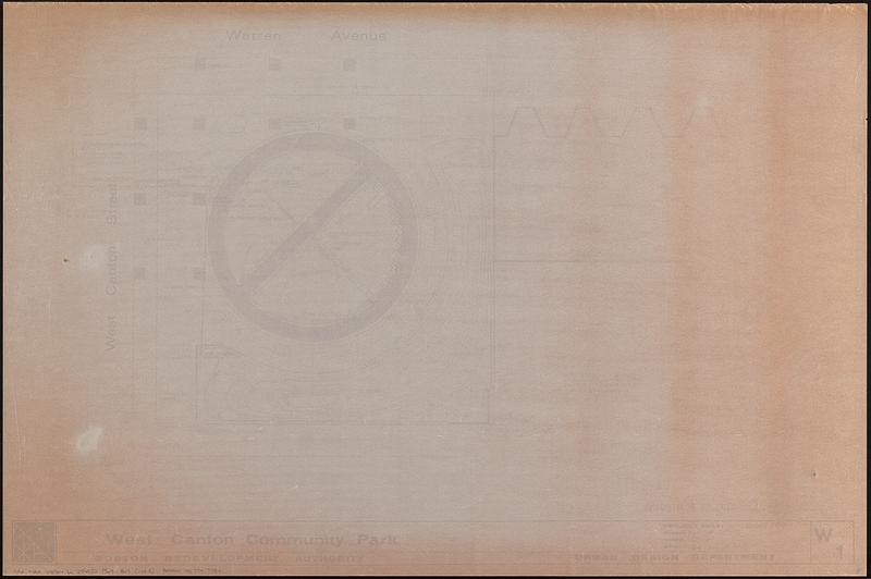
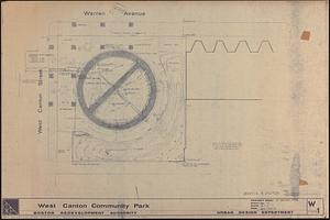
3 plans of the West Canton Community Park in Boston's South End. Maps consist of 1) photocopy of a manuscript plan showing trees, paving, landscaping and playground equipment printed in reverse on verso of a sheet, with a compass in manuscript pencil on recto of sheet; 2) photocopy of a manuscript plan showing topography, tree pits, paving, pipes, drainage and furniture subtitled grading & utilities printed in reverse on verso of a sheet; 3) photocopy of the grading & utilities map, with manuscript notes in pencil in margins.
- Cartographer:
- Boston Redevelopment Authority
- Name on Item:
-
drawn by SF ; drawn by BRA landscape ; Boston Redevelopment Authority Urban Design Department
- Date:
-
1969
- Format:
-
Maps/Atlases
- Location:
-
Boston Public Library
Norman B. Leventhal Map & Education Center - Collection (local):
-
Norman B. Leventhal Map & Education Center Collection
- Series:
- Boston Redevelopment Authority Maps & Manuscript Plans Collection
- Subjects:
-
South End (Boston, Mass.)--Maps
Parks--Massachusetts--Boston--Maps
City planning--Massachusetts--Boston--Maps
- Places:
-
MassachusettsSuffolk (county)BostonSouth End
- Extent:
- 3 maps ; sheets 61 x 92 cm
- Terms of Use:
-
No known copyright restrictions.
No known restrictions on use.
- Publisher:
-
[Boston] :
Boston Redevelopment Authority
- Scale:
-
Scale 1:96. 1/8" = 1'
- Language:
-
English
- Notes:
-
Oriented with north to the upper right.
- Identifier:
-
06_01_017883A
06_01_017883B
06_01_017889
- Call #:
-
BRA MAP FOLDER 15
- Barcode:
-
30000007747784


