Wards & precincts, city of Boston - 1890
Item Information
- Title:
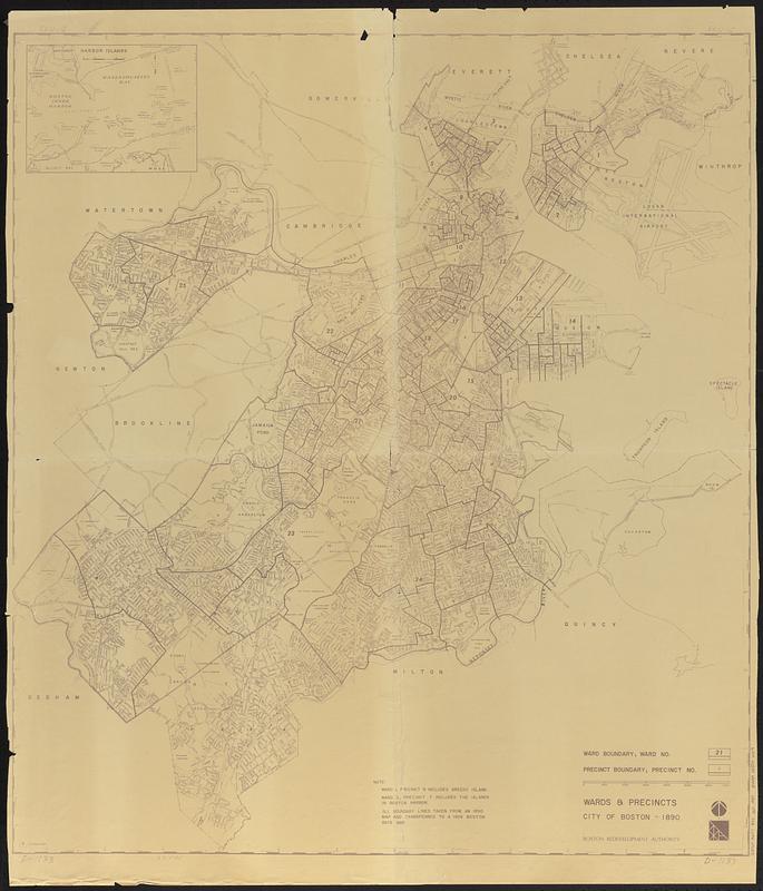
- Wards & precincts, city of Boston - 1890
- Cartographer:
- Boston Redevelopment Authority
- Name on Item:
-
Boston Redevelopment Authority
- Date:
-
[1959]
- Format:
-
Maps/Atlases
- Location:
-
Boston Public Library
Norman B. Leventhal Map & Education Center - Collection (local):
-
Norman B. Leventhal Map & Education Center Collection
- Subjects:
-
Boston (Mass.)--History--Administrative and political divisions--Maps
Boston (Mass.)--Maps
- Places:
-
MassachusettsSuffolk (county)Boston
- Extent:
- 1 map ; 100 x 89 cm
- Terms of Use:
-
No known copyright restrictions.
No known restrictions on use.
- Publisher:
-
[Boston] :
Boston Redevelopment Authority
- Scale:
-
Scale approximately 1:19,000
- Language:
-
English
- Notes:
-
Shows 1890 wards and precincts and 1959 streets and neighborhoods.
Inset: Harbor Islands.
"All boundary lines taken from an 1890 map and transferred to a 1959 Boston base map."
In corners: D-1133.
- Notes (date):
-
This date is inferred.
- Identifier:
-
06_01_016197
- Call #:
-
G3764.B6F7 1890 .B67 1959
- Barcode:
-
39999085944419


