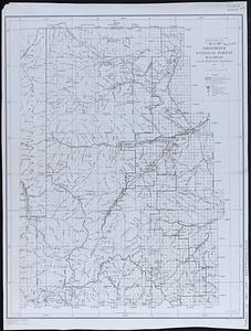
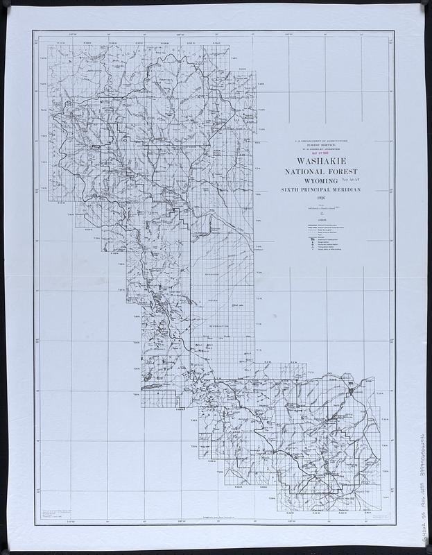
Washakie National Forest, Wyoming
Item Information
- Title:
- Washakie National Forest, Wyoming
- Cartographer:
- United States. Forest Service. Rocky Mountain Region
- Cartographer:
- Good, L. S.
- Name on Item:
-
compiled at District Office ... by L. S. Good ; traced by L. S. Good
- Date:
-
1926
- Format:
-
Maps/Atlases
- Location:
-
Boston Public Library
Norman B. Leventhal Map & Education Center - Collection (local):
-
Norman B. Leventhal Map & Education Center Collection
- Subjects:
-
Shoshone National Forest (Wyo.)--Maps
Forest reserves--Wyoming--Maps
- Places:
-
WyomingPark (county)Shoshone National Forest
- Extent:
- 1 map : photocopy ; 72 x 52 cm
- Terms of Use:
-
No known copyright restrictions.
No known restrictions on use.
- Publisher:
-
Denver :
Forest Service
- Scale:
-
Scale approximately 1:253,440
- Projection:
- Polyconic projection
- Language:
-
English
- Notes:
-
Relief shown by shading and spot heights.
"Sixth principal meridian."
Washakie National Forest was abolished and lands transferred to Shoshone National Forest in 1945.
- Identifier:
-
06_01_018315
- Call #:
-
G4262.S5 1926 .U55
- Barcode:
-
39999065662536