Toggle navigation
LMEC Home
Exhibitions
Georeferencing
Tools for Teachers
Collections
My Favorites
Sign Up / Log In
Search
Search the map portal
Map Collection
Map Collection
Map Sets
Search
Search
Search for
Search In
All Fields
Creator
Title
Subject
Place
Search All Digital Collections
Advanced Search
13694 Results
Filter your Search
Place
North and Central America
10,357
United States
8,484
Massachusetts
2,796
Suffolk (county)
1,678
Boston
1,634
Europe
1,419
Canada
950
New York
650
more
Place
»
Topic
Boston (Mass.)--Maps
748
City planning--Massachusetts--Boston--Maps
418
United States--History--Revolution, 1775-1783--Maps
329
United States--Maps
322
Real property--Massachusetts--Boston--Maps
254
Urban renewal--Massachusetts--Boston--Maps
254
Massachusetts--Maps
233
Insurance surveys
197
more
Topic
»
Date
Date range begin
–
Date range end
Current results range from
1482
to
2023
View distribution
Creator
United States. Hydrographic Office
597
Boston Redevelopment Authority
404
Des Barres, Joseph F. W. (Joseph Frederick Wallet), 1722-1824
247
Royal United Services Institute for Defence and Security Studies
160
Jefferys, Thomas, -1771
154
George, III, King of Great Britain, 1738-1820
152
George, IV, King of Great Britain, 1762-1830
151
O.H. Bailey & Co
148
more
Creator
»
Format
Maps/Atlases
13,513
Manuscripts
985
Prints
102
Books
49
Drawings/Illustrations
44
Photographs
15
Objects/Artifacts
13
Documents
7
more
Format
»
Georeferenced
Yes
979
No
12,715
Collection
Norman B. Leventhal Map & Education Center Collection
9,108
American Revolutionary War-Era Maps
3,305
Boston and New England Maps
2,921
Urban Maps
2,480
Maritime Charts and Atlases
1,169
William L. Clements Library Collection
910
Library of Congress Collection
618
Boston Redevelopment Authority Collection
475
more
Collection
»
Available to use
No known restrictions
10,260
Creative Commons license
1,678
Search Constraints
Sort by date (desc)
relevance
title
date (asc)
date (desc)
Number of results to display per page
50 per page
10
per page
20
per page
50
per page
100
per page
View results as:
grid view
map view
Search Results
301.
Planting beds on Dartmouth Street and Boylston Street in Copley Square
302.
Agriculture and wellhead protection in the Connecticut Valley
303.
Airport obstruction chart
304.
Airport obstruction chart OC 144, Hector International Airport, Fargo, North Dakota
305.
Airport obstruction chart OC 154, Page Field, Fort Myers, Florida
306.
Airport obstruction chart OC 161, Fresno--Chandler Downtown Airport, Fresno, California
307.
Airport obstruction chart OC 177, Great Falls International Airport, Great Falls, Montana
308.
Airport obstruction chart OC 53, Blythe Airport, Blythe, California
309.
Airport obstruction chart OC 83, Cincinnati Municipal Airport, Cincinnati--Lunken Field, Cincinnati, Ohio
310.
Allentown-Bethlehem-Easton Airport, Allentown, Pennsylvania
311.
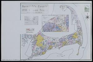
Barnstable County 1990 census tracts
312.
Boston's bikemap : Arlington, Belmont, Brookline, Cambridge, Chelsea, Everett, Lexington, Malden, Medford, Needham, Newton,...
313.
Brighton and Allston urban design strategy
314.
The Charles River basin
315.
Charlestown Navy Yard master plan
316.
Columbia Point updated base maps
317.
DFWELE land showing 1985-1990 acquisitions
318.
Eastern encephalitis risk area
319.
EOEA land management planning process project area : a cooperative planning project between MDC, DFWELE, DEM, & DFA
320.
EOEA MassGIS geographic information system transition document : The EOEA geographic information system: MassGIS
321.
Ephrata Municipal Airport, Ephrata Washington
322.
Flirtation walk existing conditions plan Charlestown Navy Yard
323.
Gallatin Field, Bozeman, Montana
324.
Gate 5 - Chelsea Street modified landscape scheme, Charlestown, MA
325.
Illustrative site plan : a proposal for community review South End/Lower Roxbury development policy
326.
Illustrative site plan : a proposal for community review South End/Lower Roxbury development policy
327.
Ipswich basin landuse and protected lands
328.
Land use shading test plot shadeset PI and lu21-pi.lut
329.
Landuse change in Kingston, Mass. 1971-1985
330.
Little Mystic Channel landscape scheme, Charlestown, MA
331.
Map of Greylock center site, Adams, Massachusetts
332.
Massachusetts coastal towns
333.
Middlesex Fells Reservation : carriage road and trail survey project
334.
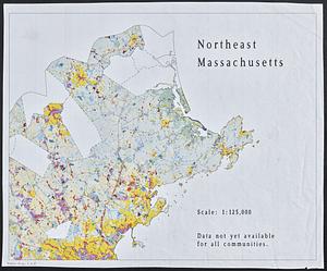
Northeast Massachusetts
335.
Open space map of Connecticut, lands dedicated as open space, and selected undeveloped land, lands managed but not dedicated as...
336.
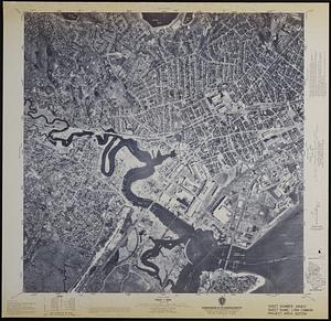
Orthophoto map of Boston, Lynn Common
337.
Outline map of Boston
338.
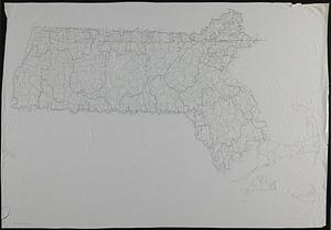
Outline map of Massachusetts
339.
Outline map of the coastal area of Bristol County, Mass. showing wetlands, political boundaries, and ponds & streams
340.
Profile of Huntington Avenue/St. James Avenue from Harcourt Street to Berkeley Street
341.
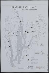
Quabbin basin map tributary sampling stations
342.
Robert Mueller Municipal Airport, Austin, Texas
343.
Ropewalk bldg. Charlestown Navy Yard
344.
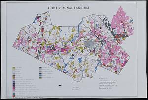
Route 2 zonal land use
345.
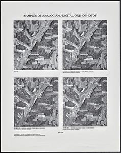
Samples of analog and digital orthophotos
346.
Shadow analysis
347.
Southwest Georgia Regional Airport, Albany, Georgia
348.
Street trees Comm. Ave.
349.
Topographic map of Brighton and Allston
350.
View of the South End
‹ Prev
Next ›
1
2
3
4
5
6
7
8
9
10
11
…
273
274