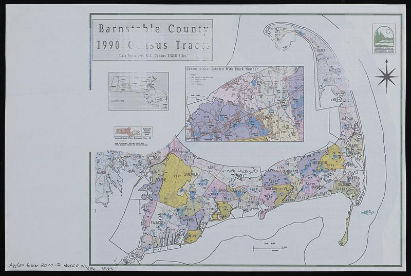
Barnstable County 1990 census tracts
Item Information
- Title:
- Barnstable County 1990 census tracts
- Cartographer:
- MassGIS (Office : Mass.)
- Contributor:
- Massachusetts. Executive Office of Environmental Affairs
- Name on Item:
-
Executive Office of Environmental Affairs ; MassGIS
- Date:
-
1990
- Format:
-
Maps/Atlases
- Location:
-
Boston Public Library
Norman B. Leventhal Map & Education Center - Collection (local):
-
Applied Geographics, Inc. Records
- Subjects:
-
Barnstable County (Mass.)--Maps
Census districts--Massachusetts--Barnstable County--Maps
- Places:
-
MassachusettsBarnstable (county)
- Extent:
- 1 map : color ; 26 x 33 cm
- Terms of Use:
-
No known copyright restrictions.
No known restrictions on use.
- Publisher:
-
Massachusetts :
MassGIS
- Scale:
-
Scale approximately 1:260,000
- Language:
-
English
- Notes:
-
Insets: Location map -- Census blocks labeled with block number.
- Identifier:
-
06_01_019049
- Call #:
-
AppGeo Folder 30 no. 12
- Barcode:
-
30000008063565