Search Constraints
Search Results


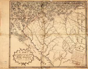
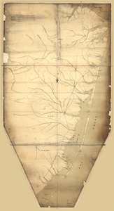
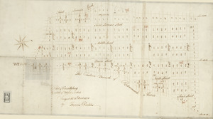
13. Armstrong County

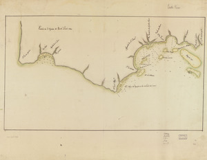
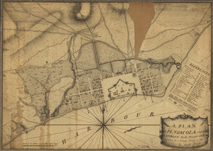
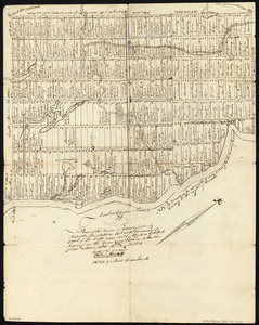
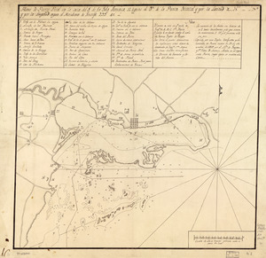
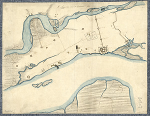
14. Boston & harbour


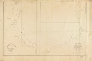
21. Cawanesque


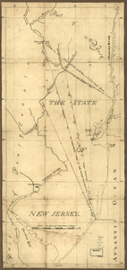
39. New Hampshire


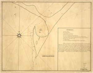
![Plan of the city intended for the permanent seat of the government of t[he] United States](https://bpldcassets.blob.core.windows.net/derivatives/images/commonwealth:q524nf917/image_thumbnail_300.jpg)

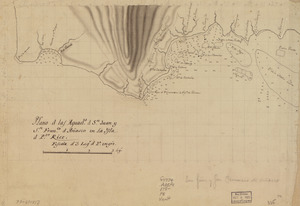
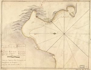
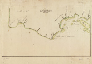
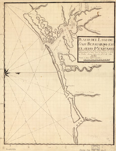
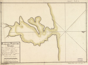
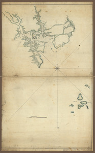
83. Pto. Rico
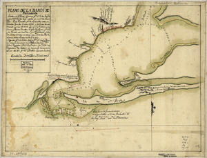
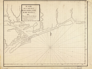
84. Pto. Rico
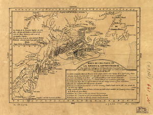
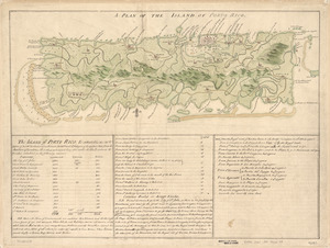
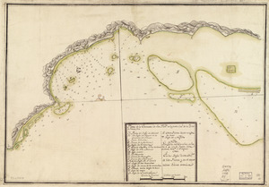
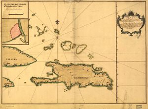
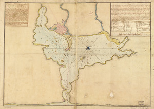
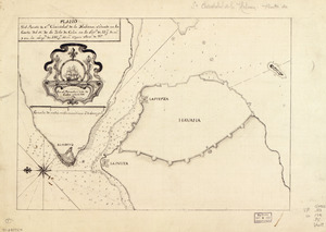
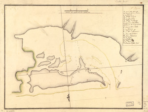
85. Puerto Rico
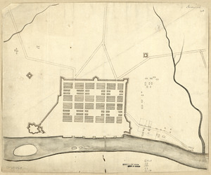
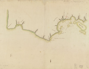
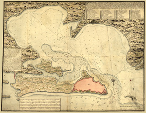
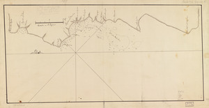
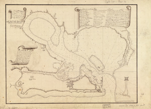
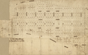
86. Savannah
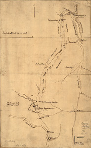
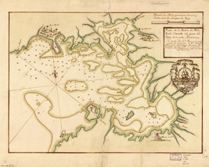
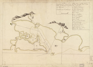
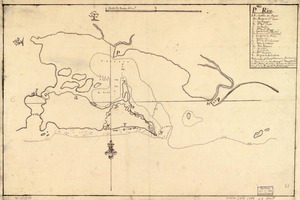
![S[i]r: This is minuts of the fort at Crown Point and of the redouts built round it; which I took on the mountain to the west of Crown Point abt. a miles distance](https://bpldcassets.blob.core.windows.net/derivatives/images/commonwealth:q524nd85w/image_thumbnail_300.jpg)


94. Tybee Island
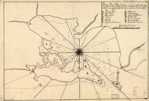
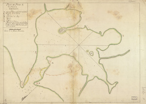
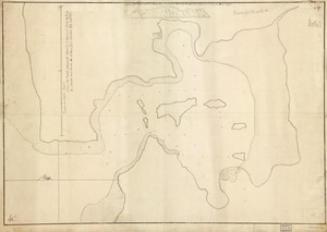
95. Venango Co
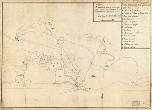
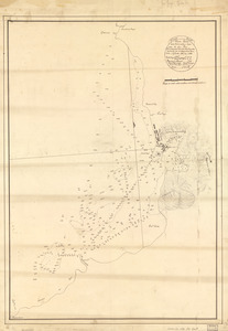
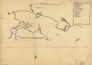
96. W. Br. Pine Cr
![W. Su[q.?] Cr., Bradford Co](https://bpldcassets.blob.core.windows.net/derivatives/images/commonwealth:q524ng417/image_thumbnail_300.jpg)