Search Constraints
Search Results


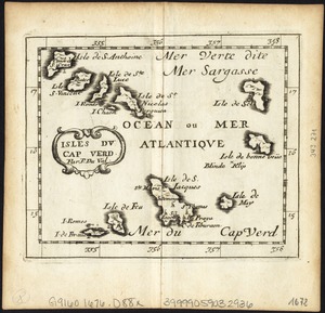
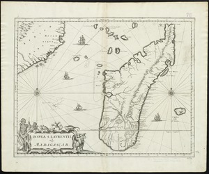
8009. Isles du Cap Verd


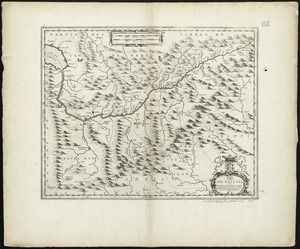


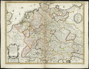
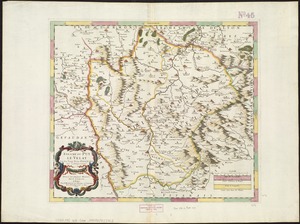
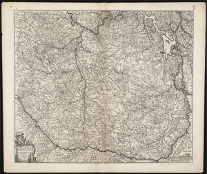
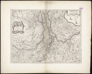
8022. A new map of Germanie


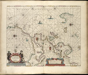
8026. A chart of the South Sea


![Carta noua accurata del passagio et strada dalli Paesi Bassi per via de Allemagna per Italia et per via di Paesi Suizeri à Geneua, Lione et Roma per seruizio delli marchanti et viagianti in gen[er]ale ad instanza delli Ss. Scherer et di Momforti speditori delli marchantie in Bregens](https://bpldcassets.blob.core.windows.net/derivatives/images/commonwealth:cj82kw988/image_thumbnail_300.jpg)

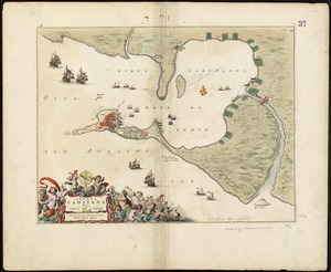
8047. Barbaria
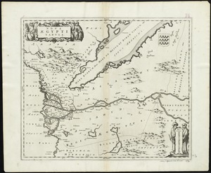
8049. Nova Aegypti tabula

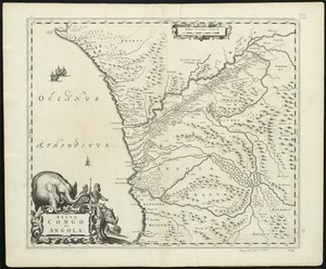
8052. Regna Congo et Angola


![Systema ideale quo exprimitur, aquarum per canales hydragogos subterraneos ex mari et in montium hydrophylacia protrusio, aquarumq[ue] subterrestrium per pyragogos canales concoctus](https://bpldcassets.blob.core.windows.net/derivatives/images/commonwealth:n8710p89m/image_thumbnail_300.jpg)


![[Polus Antarcticus]](https://bpldcassets.blob.core.windows.net/derivatives/images/commonwealth:7h14b184w/image_thumbnail_300.jpg)

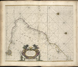
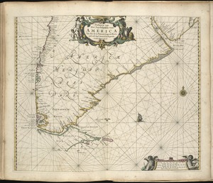
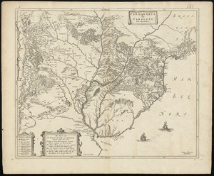
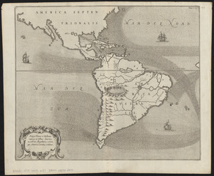
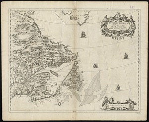
8068. Americae


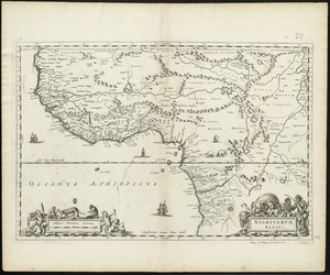
8092. Nigritarum regio