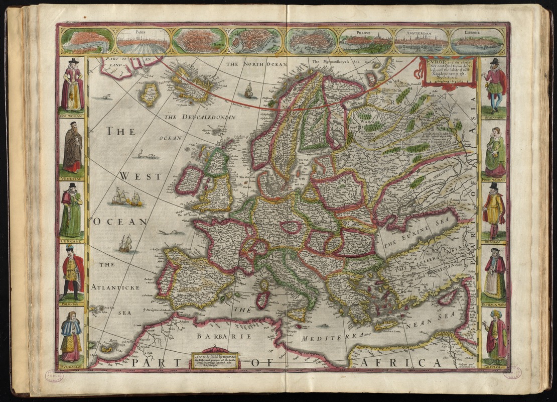
Europ, and the cheife cities contayned therin, described; with the habits of most kingdoms now in use
Item Information
- Title:
- Europ, and the cheife cities contayned therin, described; with the habits of most kingdoms now in use
- Creator:
- Speed, John, 1552?-1629
- Name on Item:
-
by Jo. Speed Ano. Domi. 1626 ; scupltum apud Abrahamum Goos.
- Date:
-
[1662]
- Format:
-
Maps/Atlases
- Location:
-
Boston Public Library
Norman B. Leventhal Map & Education Center - Collection (local):
-
Norman B. Leventhal Map & Education Center Collection
- Subjects:
-
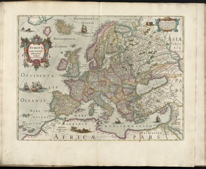
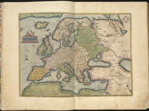
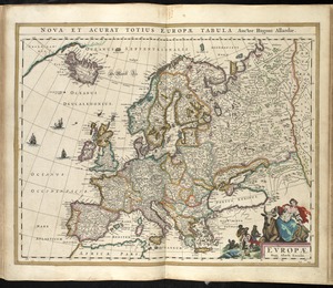
Europe--Maps--Early works to 1800
- Places:
-
Europe
Europe
- Extent:
- 1 map : hand col. ; 35 x 44 cm.
- Terms of Use:
-
No known copyright restrictions.
No known restrictions on use.
- Publisher:
-
[London] :
Are to be sould by Roger Rea the elder and younger
- Scale:
-
Scale [ca. 1:14,500,000]
- Language:
-
English
- Notes:
-
Relief shown pictorially.
Prime meridian: [Ferro].
Text on verso titled The description of Europe; p. 7-8; printer's signature D.
Includes ill. of ships and sea monsters.
City maps in upper border: London -- Paris -- Rome -- Constantinople -- Venice -- Prague -- Amsterdam -- Lisbone.
Includes ill. of native peoples in left and right borders.
In the author's A prospect of the most famous parts of the world (London, 1662).
Cataloging, conservation, and digitization made possible in part by The National Endowment for the Humanities: Exploring the human endeavor.
- Notes (date):
-
This date is inferred.
- Identifier:
-
06_01_010227
- Call #:
-
G1015 .S64 1662
- Barcode:
-
30000003245354