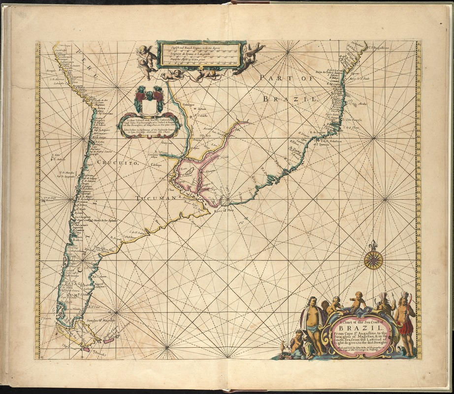
A chart of the sea coast of Brazil from Cape St. Augustine to the straights of Magellan, & in the South Sea, from the latitud of eight degrees, to the said straights
Item Information
- Title:
- A chart of the sea coast of Brazil from Cape St. Augustine to the straights of Magellan, & in the South Sea, from the latitud of eight degrees, to the said straights
- Creator:
- Seller, John, fl. 1658-1698
- Name on Item:
-
made and sold by John Selle.
- Date:
-
[1672?]
- Format:
-
Maps/Atlases
- Location:
-
Boston Public Library
Norman B. Leventhal Map & Education Center - Collection (local):
-
Norman B. Leventhal Map & Education Center Collection
- Subjects:
-
Nautical charts--South America--Early works to 1800
Nautical charts--Argentina--Early works to 1800
Nautical charts--Brazil--Early works to 1800
Nautical charts--Chile--Early works to 1800
Nautical charts--Southern Cone of South America--Early works to 1800
South America--Maps--Early works to 1800
Southern Cone of South America--Maps--Early works to 1800
Brazil--Maps--Early works to 1800
Argentina--Maps--Early works to 1800
Chile--Maps--Early works to 1800
- Places:
-
Argentina
Brazil
Chile
South America
Southern Cone
South America
- Extent:
- 1 map : hand col. ; 43 x 51 cm.
- Terms of Use:
-
No known copyright restrictions.
No known restrictions on use.
- Publisher:
-
London :
John Seller
- Scale:
-
Scale [ca. 1:13,000,000]
- Language:
-
English
- Notes:
-
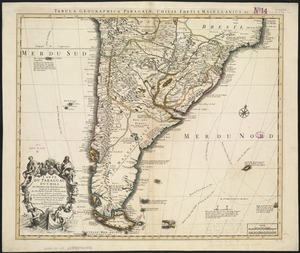
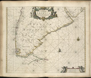
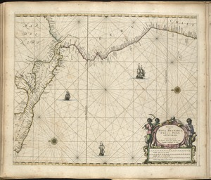
Map of the southern cone of South America.
Includes decorative cartouche and dedication.
Appears in the author's Atlas maritimus, or A book of charts. London : John Seller, [1672?]
Cataloging, conservation, and digitization made possible in part by The National Endowment for the Humanities: Exploring the human endeavor.
Atlas scanned by Internet Archive http://archive.org/details/atlasmaritimusor00sell
- Identifier:
-
06_01_008266
- Call #:
-
G1059 .S45 1672
- Barcode:
-
30000003778578